
Near Fredericksburg in Spotsylvania County, Virginia — The American South (Mid-Atlantic)
Ely’s Ford
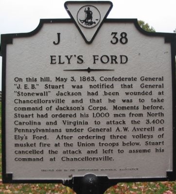
Photographed by Craig Swain, November 10, 2007
1. Ely's Ford Marker
Erected 1981 by Spotsylvania Historical Association. (Marker Number J-38.)
Topics and series. This historical marker is listed in this topic list: War, US Civil. In addition, it is included in the Virginia Department of Historic Resources (DHR) series list. A significant historical month for this entry is May 1692.
Location. 38° 21.375′ N, 77° 40.711′ W. Marker is near Fredericksburg, Virginia, in Spotsylvania County. It is on Ely's Ford Road (County Route 610) 0.3 miles north of Rapidan Drive, on the right when traveling north. Touch for map. Marker is at or near this postal address: 10413 Elys Ford Rd, Fredericksburg VA 22407,
this page online

Regionally, this marker is in the Washington Metropolitan Area, in Northern Virginia, and in the Piedmont. It is also in the American South, specifically in the Upper South, in the Mid-Atlantic, and on the Eastern Seaboard. Globally, it is in the North Atlantic Region, North America, the Western Hemisphere, the Western World, and the Anglosphere. Historically, it finds itself in what was once the territory of the Mississippian Culture, one of the original Thirteen Colonies, one of the Confederate States of America, and the Antebellum South.
Other nearby markers. At least 8 other markers are within 3 miles of this marker, measured as the crow flies: Ancient Crossroads (a few steps from this marker); Heaven and Earth (a few steps from this marker); Legends on Horseback (a few steps from this marker); Lookout Tower and Signal Stations (a few steps from this marker); Chancellorsville Campaign (approx. 2.8 miles away); Recipe for Union Disaster (approx. 2.8 miles away); Jackson Attacks (approx. 2.8 miles away); Pressing the Attack (approx. 2.8 miles away). Touch for a list and map
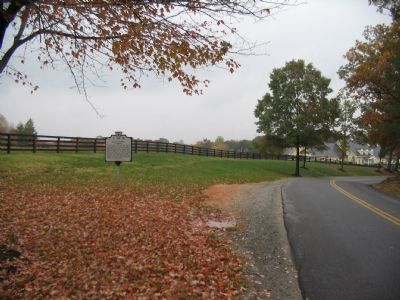
Photographed by Craig Swain, November 10, 2007
2. Ely's Ford Road
Another marker is no longer nearby. The Flying Dutchmen (was approx. 2.8 miles away but has been replaced with another marker now near it).
Also see . . . Gen. Stuart's Report on the Chancellorsville Campaign. Shotgun's Civil War Home website entry:
Stuart wrote that a staff officer "informed me of the sad calamities which for the time deprived the troops of the leadership of both Jackson and Hill, and the urgent demand for me to come and take command as quickly as possible...." (Submitted on November 11, 2007, by Craig Swain of Leesburg, Virginia.)
Additional commentary.
1. Ely's Ford in the War
Ely's Ford featured prominently in several Federal movements in the Civil War. In August 1862, major elements of the Federal army passed through in what would lead to the Second Battle of Manassas. As mentioned on the marker, both sides maneuvered through the ford during the Chancellorsville Campaign, in April-May 1863. Later in the fall of that year, the elements Federal Army of the Potomac crossed here in the Mine Run Campaign. Finally portions of the same army crossed here
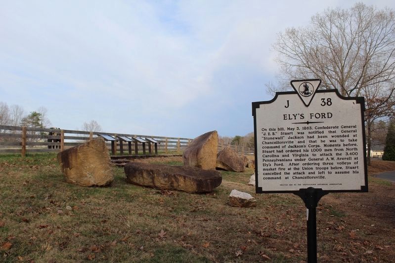
Photographed by Evan Dwyer, March 14, 2026
3. Ely’s Ford Marker
The site has evolved to include boulders, a pull-off, and four additional markers placed by the Spotsylvania Historical Association, Inc.
— Submitted November 11, 2007, by Craig Swain of Leesburg, Virginia.
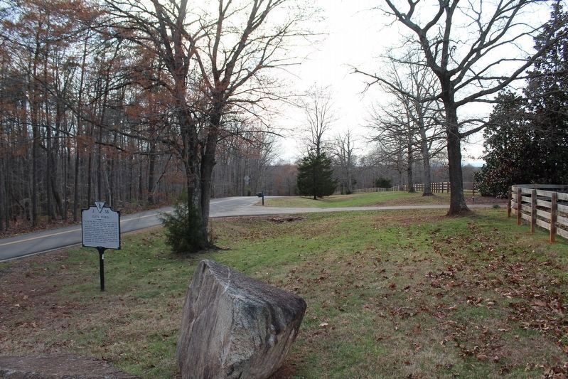
Photographed by Evan Dwyer, March 14, 2026
4. Ely’s Ford Marker
View from the hill looking in the general direction of the ford. The incline of this prominent piece of ground is evident.
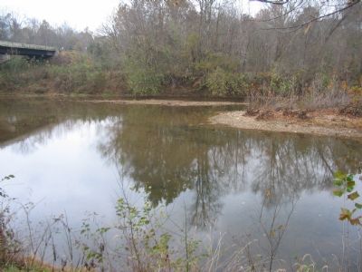
Photographed by Craig Swain, November 10, 2007
5. Ely's Ford Crossing Point
The historical ford crossed just downstream from the present day bridge. A public boat ramp affords access to the river at this point.
Credits. This page was last revised on April 2, 2026. It was originally submitted on November 11, 2007, by Craig Swain of Leesburg, Virginia. This page has been viewed 5,661 times since then and 320 times this year. Photos: 1, 2. submitted on November 11, 2007, by Craig Swain of Leesburg, Virginia. 3, 4. submitted on April 2, 2026, by Evan Dwyer of Richmond, Virginia. 5. submitted on November 11, 2007, by Craig Swain of Leesburg, Virginia.
