Greensboro in Guilford County, North Carolina — The American South (South Atlantic)
Tannenbaum Historic Park
Parks and Recreation Department
— City of Greensboro —
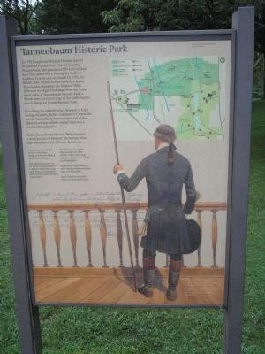
Describing the battlefield in a dispatch to Lord George Germain, British commander Cornwallis stated, “immediately between the head of the [British] column and the enemy’s line was a considerable plantation . . . . ”
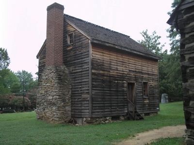
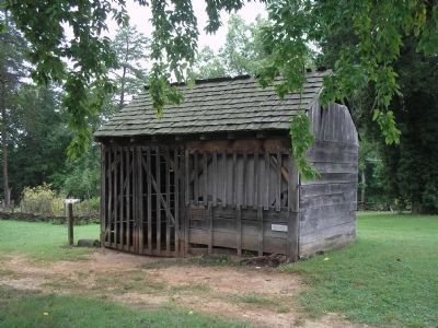
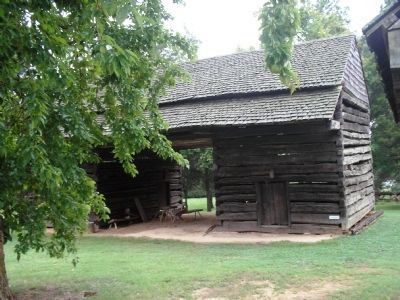
Today, Tannenbaum Historic Park preserves a small portion of Hoskins’ plantation, about one-twentieth of the 150-acre farmstead.
Tannenbaum Historic Park interprets life before, during, and after the Battle of Guilford Courthouse.
The national park preserves the historic landscape much as it appeared at the time of the battle. Beyond its boundaries, there are many other recreation opportunities.
The visitor center near the American first line offers exhibits, a film, a battle map program, and information about special programs.
Greensboro Country Park has picnic shelters, hiking and biking trails, and fishing lakes.
Jaycee Park provides tennis courts and team athletic fields.
Erected by Greensboro Parks and Recreation Department.
Topics. This historical marker is listed in these topic lists: Settlements & Settlers • War, US Revolutionary. A significant historical month for this entry is March 1755.
Location. 36° 7.772′ N, 79° 51.104′ W. Marker is in Greensboro, North Carolina, in Guilford County. Marker is at the intersection of New Garden Road and Battleground Avenue (U.S. 220), on the right when traveling east on New Garden Road. Marker is located at the north end of the parking lot in Tannenbaum Historic Park. Touch for map. Marker is at or near this postal address: 2200 New Garden Road, Greensboro NC 27410, United States of America. Touch for directions.
Other nearby markers. At least 8 other markers are within walking distance of this marker. Tannenbaum Park (within shouting distance of this marker); Hoskins Farmstead (within shouting distance of this marker); British Attack (within shouting distance of this marker); Guilford Courthouse (about 600 feet away, measured in a direct line); Joseph G. Cannon (about 700 feet away); Crown Forces at the Battle of Guilford Courthouse (approx. 0.2 miles away); Col. Arthur Forbis (approx. 0.2 miles away); Local Hero (approx. 0.2 miles away). Touch for a list and map of all markers in Greensboro.
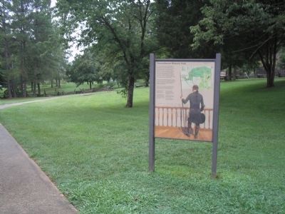
More about this marker. The background of the marker contains a picture of Joseph Hoskins and has a caption of “Joseph Hoskins held a number of public offices in Guilford County, including the important office of sheriff. He assumed his first leadership role in local government when he was appointed to a district tax collector post. The upper right of the marker contains a map of Tannenbaum Historic Park, Guilford Courthouse National Military Park, Greensboro Country Park and Jaycee Park.
Also see . . . The Battle of Guilford Courthouse. Account of the battle from the American Revolution War website. (Submitted on August 24, 2010, by Bill Coughlin of Woodland Park, New Jersey.)
Credits. This page was last revised on March 24, 2021. It was originally submitted on August 24, 2010, by Bill Coughlin of Woodland Park, New Jersey. This page has been viewed 1,091 times since then and 40 times this year. Photos: 1, 2, 3, 4, 5. submitted on August 24, 2010, by Bill Coughlin of Woodland Park, New Jersey.
