Independence in Jackson County, Missouri — The American Midwest (Upper Plains)
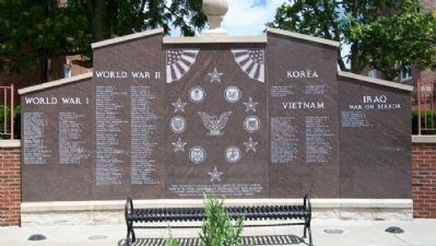
Independence Veterans Memorial
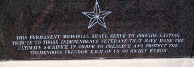
serve to provide lasting
tribute to those Independence
veterans that have made
the ultimate sacrifice in order
to preserve and protect
the tremendous freedom each
of us so richly enjoy
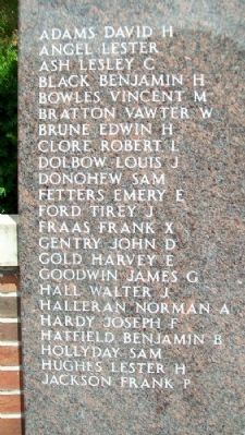
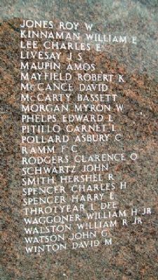
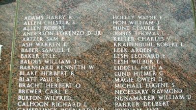
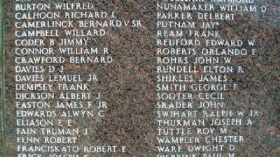
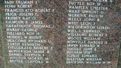
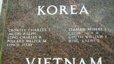
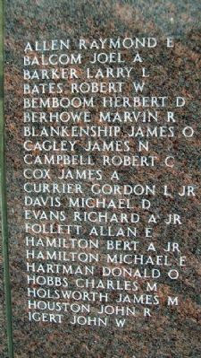
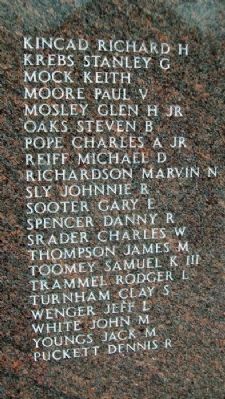
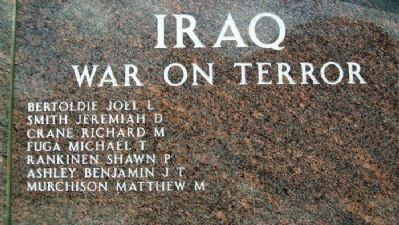
[Honor Roll List of Names]
Erected by City of Independence.
Topics. This historical marker and memorial is listed in this topic list: Heroes.
Location. 39° 5.579′ N, 94° 25.228′ W. Marker is in Independence, Missouri, in Jackson County. Marker is on West Maple Avenue near Spring Street, on the left when traveling east. Memorial is immediately west of the First United Methodist Church. Touch for map. Marker is in this post office area: Independence MO 64050, United States of America. Touch for directions.
Other nearby markers. At least 8 other markers are within walking distance of this marker. First United Methodist Church (a few steps from this marker); First Presbyterian Church (about 300 feet away, measured in a direct line); a different marker also named First Presbyterian Church (about 300 feet away); First Fireproof Building in Independence (about 400 feet away); First Baptist Church (about 500 feet away); The Minor House (about 600 feet away); First Christian Church (about 600 feet away); Gingko Tree (about 700 feet away). Touch for a list and map of all markers in Independence.
Credits. This page was last revised on June 16, 2016. It was originally submitted on August 24, 2010, by William Fischer, Jr. of Scranton, Pennsylvania. This page has been viewed 6,293 times since then and 29 times this year. Photos: 1, 2, 3, 4, 5, 6, 7, 8, 9, 10, 11. submitted on August 24, 2010, by William Fischer, Jr. of Scranton, Pennsylvania.
