Near Millwood in Clarke County, Virginia — The American South (Mid-Atlantic)
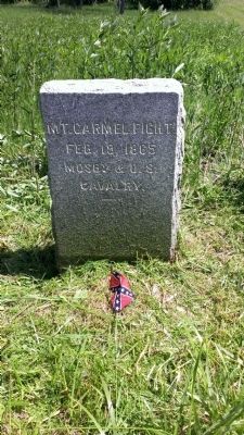
Mt. Carmel Fight
Feb. 19, 1865
Mosby & U.S.
Cavalry
——
Erected by J.E.B. Stuart Chapter of the Confederate Veterans.
Topics and series. This historical marker is listed in this topic list: War, US Civil. In addition, it is included in the Sons of Confederate Veterans/United Confederate Veterans series list. A significant historical month for this entry is February 1850.
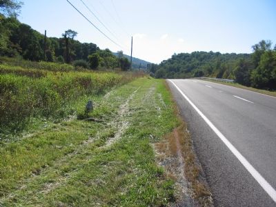
Location. 39° 1.849′ N, 77° 59.016′ W. Marker is near Millwood, Virginia, in Clarke County. Marker is at the intersection of John Mosby Highway (U.S. 17/50) and Mt. Carmel Road (County Route 606), on the right when traveling west on John Mosby Highway. Touch for map. Marker is in this post office area: Millwood VA 22646, United States of America. Touch for directions.
Other nearby markers. At least 8 other markers are within 4 miles of this marker, measured as the crow flies. Ashby’s Gap (approx. 1.3 miles away); Fight at Berry's Ferry (approx. 1½ miles away); Clark County / Fauquier County (approx. 1.6 miles away); Vinyard Fight (approx. 2.1 miles away); Jackson’s Bivouac (approx. 2½ miles away); Mount Bleak Farm (approx. 2.9 miles away); Greenway Historic District (approx. 3.7 miles away); Long Branch (approx. 3.7 miles away). Touch for a list and map of all markers in Millwood.
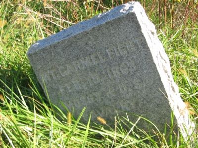
More about this marker. This is one in a series of granite markers placed by the J.E.B. Stuart Chapter of the Confederate Veterans sometime in the 1890s to commemorate significant Civil War actions around Clarke County.
Regarding Mt. Carmel Fight. The stone commemorates a short fight in the Federal operations aimed to suppress Confederate Col. John S. Mosby's rangers. A Federal party had just completed a sweep through western Fauquier County to detain men affiliated with Mosby's group. While making their way north, the party was ambushed by a Confederate force. Although outnumbering the Confederates, since the fighting was at close range, numbers were negated. The Federals scattered and made their way to the Shenandoah River and safety. Thirteen Federals were killed in the action, and some 63 captured, of a total of around two-hundred.
Photographed By Craig Swain, January 19, 2008
5. Skirmish Site
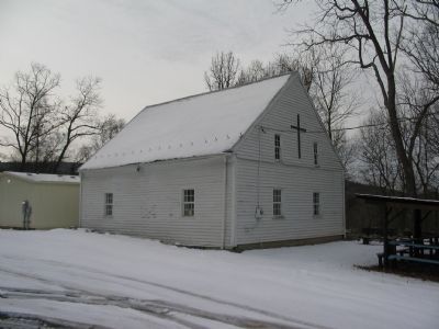
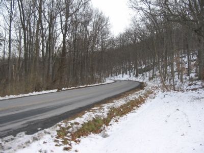
Just past the church, the road takes a sharp bend. At the time of the Civil War, stone walls bordered the road. Near this point, a detachment of Mosby's Rangers under Major Adolphus "Dolly" Richards ambushed a Federal detachment. In a close quarters, and rather violent action, 13 Federals were killed and 63 captured. One of the Rangers was wounded.
Credits. This page was last revised on July 22, 2020. It was originally submitted on November 11, 2007. This page has been viewed 2,775 times since then and 77 times this year. Last updated on July 19, 2020, by Bradley Owen of Morgantown, West Virginia. Photos: 1. submitted on June 5, 2014, by Dave Clarke of Berryville, Virginia. 2, 3. submitted on November 11, 2007, by Craig Swain of Leesburg, Virginia. 4, 5. submitted on January 19, 2008, by Craig Swain of Leesburg, Virginia. • J. Makali Bruton was the editor who published this page.
