Magna in Salt Lake County, Utah — The American Mountains (Southwest)
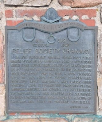
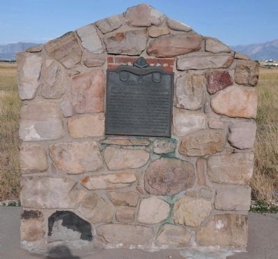
Relief Society Granary
Erected 1966 by Daughters of Utah Pioneers - Oquirrh Camp. (Marker Number 319.)
Topics and series. This historical marker is listed in these topic lists: Charity & Public Work • Churches & Religion • Settlements & Settlers. In addition, it is included in the Daughters of Utah Pioneers series list. A significant historical date for this entry is June 24, 1864.
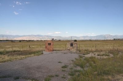
Location. 40° 40.997′ N, 112° 5.482′ W. Marker is in Magna, Utah, in Salt Lake County. Marker is at the intersection of 8400 West (State Highway 111) and 4100 South, on the left when traveling south on 8400 West. Marker is adjacent to the Early Magna Settlements marker. It is about 125 feet off of the road and just north of 4100 West. The pulloff for the marker is also the beginning of the runaway truck lane so make sure that you are completely off the road when you stop. Touch for map. Marker is in this post office area: Magna UT 84044, United States of America. Touch for directions.
Other nearby markers. At least 8 other markers are within 8 miles of this marker, measured as the crow flies. Early Magna Settlements (here, next to this marker); Pleasant Green Ward (approx. 2 miles away); Hunter (approx. 3.1 miles away); A Struggle For Water (approx. 4.9 miles away); Monroe Community School (approx. 5˝ miles away); Early Granger Schools (approx. 5˝ miles away); English Fort (approx. 8.1 miles away); Garfield & Lake Point Resorts (approx. 8.1 miles away). Touch for a list and map of all markers in Magna.
Credits. This page was last revised on June 16, 2016. It was originally submitted on August 30, 2010, by Bryan R. Bauer of Kearns, Ut 84118. This page has been viewed 1,256 times since then and 33 times this year. Photos: 1, 2, 3. submitted on August 30, 2010, by Bryan R. Bauer of Kearns, Ut 84118. • Syd Whittle was the editor who published this page.


