Madison in Dane County, Wisconsin — The American Midwest (Great Lakes)
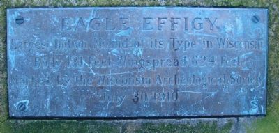
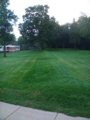
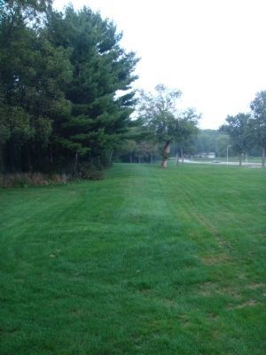
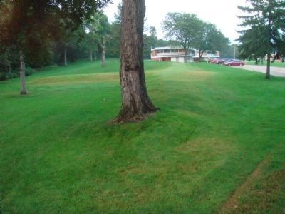
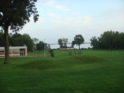
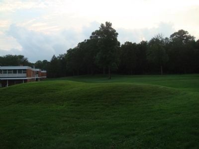
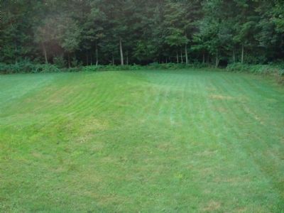
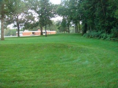
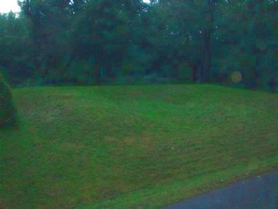
Eagle Effigy
Body 131 Feet Wingspread 624 Feet
Marked by the Wisconsin Archeological Society
July 30, 1910
Erected 1910 by the Wisconsin Archeological Society.
Topics. This historical marker is listed in this topic list: Native Americans. A significant historical month for this entry is July 1881.
Location. 43° 7.781′ N, 89° 23.851′ W. Marker is in Madison, Wisconsin, in Dane County. Marker can be reached from the intersection of Cinder Lane and Muir Drive. The marker is behind the cottages at the end of the drive that is the first left hand turn off Cinder Lane on the grounds of the Mendota Mental Health Institute. Touch for map. Marker is in this post office area: Madison WI 53704, United States of America. Touch for directions.
Other nearby markers. At least 8 other markers are within 3 miles of this marker, measured as the crow flies. Warner Park (approx. 1.2 miles away); Robert M. La Follette Home (approx. 1.6 miles away); Bird Effigy Mound (approx. 2.4 miles away); Burrows Park (approx. 2.4 miles away); Tenney Park Lock and Dam (approx. 2.8 miles away); Sherman Avenue Crossing (approx. 2.8 miles away); Tenney Park (approx. 2.9 miles away); a different marker also named Tenney Park (approx. 3 miles away). Touch for a list and map of all markers in Madison.
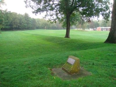
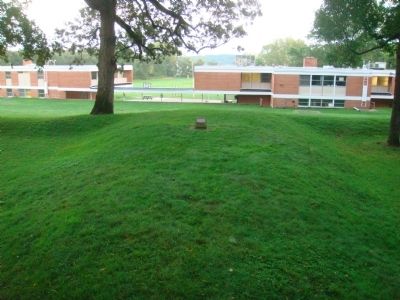
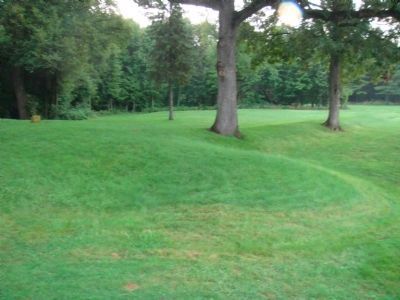
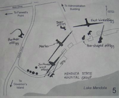
Regarding Eagle Effigy. According to a 1996 survey by Robert A. Birmingham and Katherine H. Rankin entitled Native American Mounds in Madison and Dane County, "Portions of two impressive mound groups are preserved on the hospital grounds. One is referred to as the Mendota State Hospital Group. It contains some of the finest and largest effigy mounds anywhere in the world. Included are three very large birds, including one with an original wingspan of over 624 feet. Two panthers remain, one of which has an unusual curved tail; this one has also been called a squirrel. A rare deer effigy was sculpted with four legs, rather than the two legs usually seen. Two bears, several conicals and one undetermined shape also remain of a group that once included at least six more mounds.
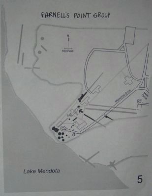
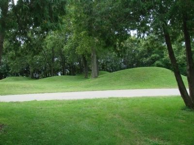
"The second group, called the Farwell's Point Group, is west of the first on a point of land 70 feet above lake level. Among these mounds are a dozen large and small conicals, the tallest of which is ten feet high. Traces of two linears, parts of two panthers, a bird and an undefined effigy also remain. Other mounds, including several conicals, linears, a bird, a goose, a bear and a possible dragonfly effigy were destroyed by construction of the state hospital buildings and roads. The mounds here were probably built over a 1000 year period. The large conicals are believed to have been built during the Middle Woodland stage,
while the effigies and other low mounds probably date to the Late Woodland stage.
"Archeologists have also found Native American village sites and traces of ancient corn hills on the Hospital grounds. The panoramic view of Lake Mendota and its shores from this point is one of the best anywhere on the lake.
"To view these two groups, check in first at the Administration Building. From Troy Drive, take the main road into the hospital grounds; the Administration Building is the first building on the right.
"After checking in, continue along the Main Drive to the first intersection and turn left. The panther with the curved tail is in a clearing on the right. Further along this road, take the next left, which will lead to a parking lot. The Mendota State Hospital Group covers a large section of ground both behind and in front of these buildings. The old Victorian fence posts mark the main formal axis of the original hospital grounds. They were taken from the grounds of the State Capitol when the current capitol building was constructed.
"The Farwell's Point group is further to the west. Follow the main drive westward until it forms a T-intersection with Memorial Drive. Turn left on Memorial Drive and follow the main loop around to the north. The mounds are clearly visible on both sides of the road."
Credits. This page was last revised on May 27, 2021. It was originally submitted on August 31, 2010, by William J. Toman of Green Lake, Wisconsin. This page has been viewed 2,800 times since then and 250 times this year. Photos: 1, 2, 3, 4, 5, 6. submitted on August 31, 2010, by William J. Toman of Green Lake, Wisconsin. 7, 8, 9, 10, 11, 12, 13, 14. submitted on September 2, 2010, by William J. Toman of Green Lake, Wisconsin. 15. submitted on September 6, 2010, by William J. Toman of Green Lake, Wisconsin. 16. submitted on August 31, 2010, by William J. Toman of Green Lake, Wisconsin. • Bill Pfingsten was the editor who published this page.
