
Downtown in Norfolk, Virginia — The American South (Mid-Atlantic)
Old City Hall and Courthouse, 1850
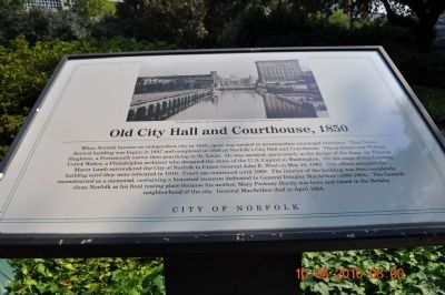
Photographed by Sandra Hughes, August 10, 2010
1. Old City Hall and Courthouse, 1850 Marker
Erected by City of Norfolk.
Topics. This historical marker is listed in these topic lists:
this page online
Location. 36° 50.847′ N, 76° 17.344′ W. Marker is in Norfolk, Virginia. It is in Downtown. It is at the intersection of Bank Street and City Hall Ave on Bank Street. Touch for map. Marker is in this post office area: Norfolk VA 23510, United States of America. Touch for directions.

Regionally, this marker is in Virginia’s Hampton Roads, specifically in Coastal Virginia, and in the Hampton Roads Metropolitan Area. It is also in the American South, specifically in the Upper South, in the Tidewater, and on the Eastern Seaboard. Globally, it is in the North Atlantic Region, North America, the Western Hemisphere, the Western World, and the Anglosphere. Historically, it finds itself in what was once the territory of the Mississippian Culture, one of the original Thirteen Colonies, one of the Confederate States of America, and the Antebellum South.
Other nearby markers. At least 8 other markers are within walking distance of this marker: Col. Samuel Leroy Slover (about 300 feet away, measured in a direct line); Town Back Creek and Stone Bridge
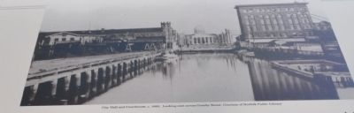
Photographed by Sandra Hughes, August 10, 2010
2. Old City Hall and Courthouse
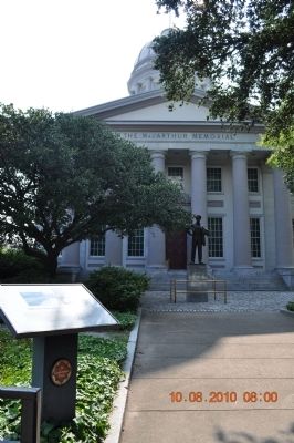
Photographed by Sandra Hughes, August 10, 2010
3. Old City Hall and Courthouse, 1850 Marker
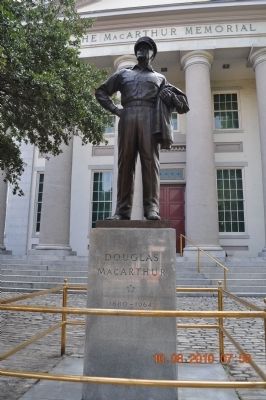
Photographed by Sandra Hughes, August 10, 2010
4. Douglas MacArthur
Credits. This page was last revised on February 1, 2023. It was originally submitted on September 1, 2010, by Sandra Hughes Tidwell of Killen, Alabama, USA. This page has been viewed 1,351 times since then and 62 times this year. Photos: 1, 2, 3, 4. submitted on September 1, 2010, by Sandra Hughes Tidwell of Killen, Alabama, USA. • Kevin W. was the editor who published this page.
