Lafayette in Tippecanoe County, Indiana — The American Midwest (Great Lakes)
The Ellsworth Historic District
Inscription.
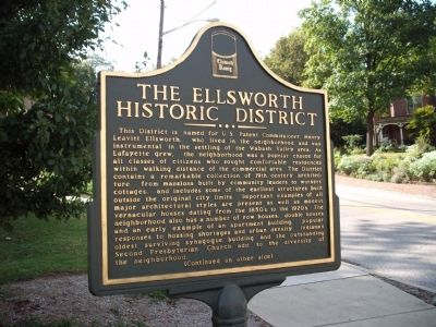
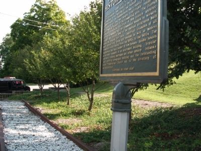
This District is named for U.S. Patent Commissioner, Henry Leavitt Ellsworth, who lived in the neighborhood and was instrumental in the settling of the Wabash Valley area. As Lafayette grew, the neighborhood was a popular choice for all classes of citizens who sought comfortable residences within walking distance of the commercial area. The District contains a remarkable collection of 19th Century architecture, from mansions built by community leaders to workers’ cottages, and includes some of the earliest structures built outside the original city limits. Important examples of all major architectural styles are present as well as modest vernacular houses dating from the 1850's to the 1920's. The neighborhood also has a number of row houses, double houses and an early example of an apartment building, popular responses to housing shortages and urban density. Indiana’s oldest surviving Synagogue building and the outstanding Second Presbyterian Church add to the diversity of the neighborhood.
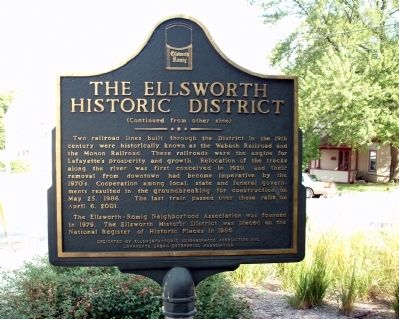
Two railroad lines built through the District in the 19th Century were historically known as the Wabash Railroad and the Monon Railroad. These railroads were the engine for Lafayette’s prosperity and growth. Relocation of the tracks along the river was first conceived in 1929, and their removal from downtown had become imperative by the 1970's. Cooperation among local, state and federal governments resulted in the groundbreaking for construction on May 25, 1986. The last train passed over these rails on April 6, 2001.
The Ellsworth - Romig Neighborhood Association was founded in 1979. The Ellsworth Historic District was placed on the National Register of Historic Places in 1986.
Erected by Ellsworth-Romig Neighborhood Association, Lafayette Urban Enterprise Association.
Topics. This historical marker is listed in these topic lists: Industry & Commerce • Railroads & Streetcars • Settlements & Settlers. A significant historical month for this entry is April 1995.
Location. 40° 24.82′ N, 86° 53.415′ W. Marker is in Lafayette, Indiana, in Tippecanoe County. Marker is on Lingle Avenue south of Romig Street, on the left when traveling south. Touch for map. Marker is in this post office area: Lafayette IN 47901, United States of America. Touch for directions.
Other nearby markers. At least 8 other markers are within walking distance of this marker. Ninth Street Hill (approx. 0.2 miles away); The Red Crown Mini-Museum (approx. ¼ mile away); Highland Park Neighborhood (approx. 0.3 miles away); The Forty - Niners (approx. 0.3 miles away); A Tribute to Joe Rumpza - The Vegetable King (approx. 0.3 miles away); Earl & Hatcher Block
(approx. 0.3 miles away); 1825 Lafayette 1925 (approx. 0.4 miles away); John Purdue Block (approx. 0.4 miles away). Touch for a list and map of all markers in Lafayette.
Also see . . . Video Tour of "The Ellsworth Historic Districtt" ::. Courtesy of "Tour de Lafayette," an excellent tour of "The Ellsworth Historic District" and some of its homes. (Submitted on August 27, 2010, by Al Wolf of Veedersburg, Indiana.)
Credits. This page was last revised on August 30, 2020. It was originally submitted on August 27, 2010, by Al Wolf of Veedersburg, Indiana. This page has been viewed 714 times since then and 25 times this year. Last updated on September 2, 2010, by William J. Toman of Green Lake, Wisconsin. Photos: 1, 2, 3, 4, 5. submitted on August 27, 2010, by Al Wolf of Veedersburg, Indiana. • Bill Pfingsten was the editor who published this page.
