Prairie Grove in Washington County, Arkansas — The American South (West South Central)
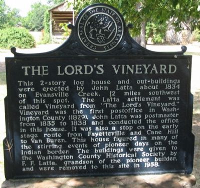
The Lord's Vineyard
Erected by State of Arkansas.
Topics. This historical marker is listed in this topic list: Settlements & Settlers. A significant historical year for this entry is 1834.
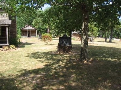
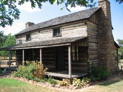
Location. 35° 58.978′ N, 94° 18.504′ W. Marker is in Prairie Grove, Arkansas, in Washington County. Marker can be reached from East Douglas Street (U.S. 62), on the right when traveling west. Located at stop two, the Latta House, of the driving tour of Prairie Grove Battlefield State Park. Touch for map. Marker is in this post office area: Prairie Grove AR 72753, United States of America. Touch for directions.
Other nearby markers. At least 8 other markers are within walking distance of this marker. Morrow House (about 400 feet away, measured in a direct line); Historic Wall (about 500 feet away); 1959 Prairie Grove Telephone Co. Phone Booth (about 500 feet away); Generals James G. Blunt and Francis J. Herron (about 500 feet away); Battlefield Park (about 500 feet away); Rhea's Mill (about 500 feet away); Major General Thomas C. Hindman (about 500 feet away); Battle of Prairie Grove (about 600 feet away). Touch for a list and map of all markers in Prairie Grove.
Also see . . . Prairie Grove Battlefield State Park. (Submitted on September 6, 2010, by Craig Swain of Leesburg, Virginia.)
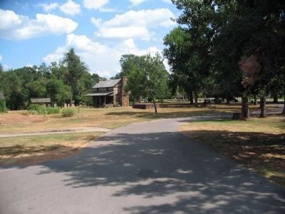
Photographed By Craig Swain, August 30, 2010
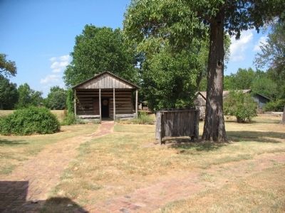
5. Back of Latta House and Cellar
The Latta house was not on the ridge during the battle of Prairie Grove. However four other houses were. Many residents hid in the nearby Morton house in a cellar (about 2000 yards west of the park visitor center). That cellar was likely similar to the Latta cellar seen here (low structure just beside the house)
Credits. This page was last revised on June 16, 2016. It was originally submitted on September 6, 2010, by Craig Swain of Leesburg, Virginia. This page has been viewed 1,107 times since then and 67 times this year. Photos: 1, 2, 3, 4, 5. submitted on September 6, 2010, by Craig Swain of Leesburg, Virginia.
