Near Stafford in Stafford County, Virginia — The American South (Mid-Atlantic)
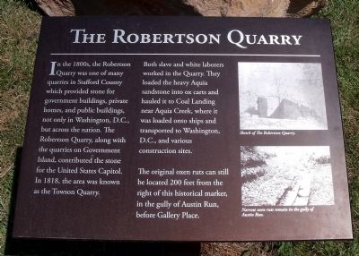
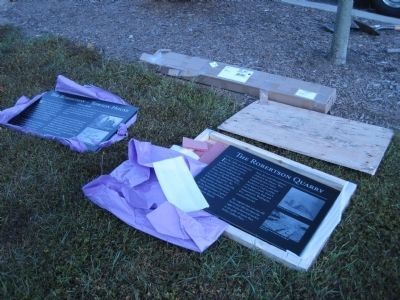
The Robertson Quarry
Both slave and white laborers worked in the Quarry. They loaded the heavy Aquia sandstone into ox carts and hauled it to Coal Landing near Aquia Creek, where it was loaded onto ships and transported to Washington, D.C., and various construction sites.
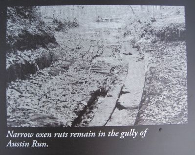
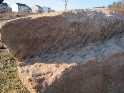
The original oxen ruts can still be located 200 feet from the right of this historical marker, in the gully of Austin Run, before Gallery Place.
Erected 2009 by Geo. H. Rucker Realty Corporation in support of a local Boy Scout Eagle Project.
Topics. This historical marker is listed in these topic lists: African Americans • Industry & Commerce. A significant historical year for this entry is 1818.
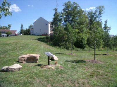
Location. 38° 26.571′ N, 77° 25.257′ W. Marker is near Stafford, Virginia, in Stafford County. Marker is at the intersection of Austin Ridge Road and Tavern Road, on the right when traveling north on Austin Ridge Road. Touch for map. Marker is in this post office area: Stafford VA 22554, United States of America. Touch for directions.
Other nearby markers. At least 8 other markers are within 2 miles of this marker, measured as the crow flies. The Robertson-Towson House (approx. 0.2 miles away); Frances R. Shelton Bridge (approx. ¾ mile away); The Knight House (approx. 0.9 miles away); Historic Knight Family Cemetery (approx. one mile away); Austin Run Pyrite Mine (approx. one mile away); Truslow Family Cemetery (approx. one mile away); Peyton’s Ordinary (approx. 1.1 miles away); Mary Kittamaquund (approx. 1.1 miles away). Touch for a list and map of all markers in Stafford.
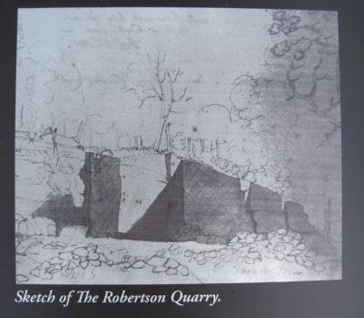
More about this marker. On the upper right is a “Sketch of The Robertson Quarry.”
On the lower right is a photo with the caption, “Narrow oxen ruts remain in the gully of Austin Run.”
Credits. This page was last revised on November 14, 2021. It was originally submitted on September 7, 2010, by Bernard Fisher of Richmond, Virginia. This page has been viewed 1,289 times since then and 57 times this year. Photos: 1. submitted on September 7, 2010, by Bernard Fisher of Richmond, Virginia. 2, 3. submitted on January 31, 2011, by Kevin W. of Stafford, Virginia. 4. submitted on September 7, 2010, by Bernard Fisher of Richmond, Virginia. 5. submitted on January 31, 2011, by Kevin W. of Stafford, Virginia. 6. submitted on February 20, 2011, by Kevin W. of Stafford, Virginia.
