Prairie Grove in Washington County, Arkansas — The American South (West South Central)
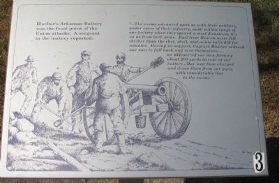
Blocher's Arkansas Battery
"...The enemy advanced upon us with their artillery, under cover of their infantry, until within range of our battery when they opened a most disastrous fire on us from both arms. Hail from Heaven never fell thicker than the shot, shell, and minie balls did for minutes. Having no support, Captain Blocher ordered our men to fall back and save themselves... we discovered our men forming about 200 yards in rear of our battery... Our men then charged and drove them from our guns, with considerable loss to the enemy." (Marker Number 3.)
Topics. This historical marker is listed in this topic list: War, US Civil.
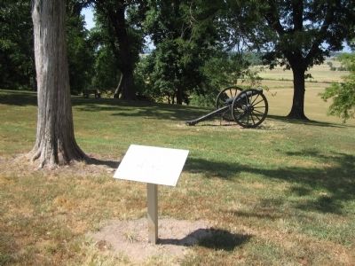
Location. 35° 59.126′ N, 94° 18.278′ W. Marker is in Prairie Grove, Arkansas, in Washington County. Marker can be reached from Park Tour Road, on the right when traveling east. Located on the walking trail at stop four, the Borden House, of Prairie Grove Battlefield State Park. Touch for map. Marker is in this post office area: Prairie Grove AR 72753, United States of America. Touch for directions.
Other nearby markers. At least 8 other markers are within walking distance of this marker. Herron's Attack (a few steps from this marker); Archibald Borden House (a few steps from this marker); The Dead of Prairie Grove (within shouting distance of this marker); The Borden House / The Legacy of Prairie Grove (within shouting distance of this marker); 26th Indiana and 37th Illinois Infantry (within shouting distance of this marker); Lieutenant Colonel John C. Black (about 300 feet away, measured in a direct line); 29th Arkansas Infantry (about 400 feet away); The Lord's Vineyard (approx. ¼ mile away). Touch for a list and map of all markers in Prairie Grove.
Also see . . .
1. Prairie Grove Battlefield State Park. (Submitted on September 7, 2010, by Craig Swain of Leesburg, Virginia.)
2. Blocher's Battery. Brief history and names of men who served in the battery. (Submitted on September 7, 2010, by Craig Swain of Leesburg, Virginia.)

Photographed By Craig Swain, August 30, 2010
3. Battery Position
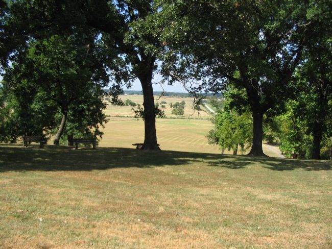
The battery occupied a position with a view of the fording sites on the Illinois River in the distance. Federals advanced across the open ground seen beyond the trees. Note the "blind" area at the base of the ridge. Federals were able to get "under" Blocher's guns before staging their assault on the high ground.
Credits. This page was last revised on June 16, 2016. It was originally submitted on September 7, 2010, by Craig Swain of Leesburg, Virginia. This page has been viewed 926 times since then and 8 times this year. Photos: 1, 2, 3. submitted on September 7, 2010, by Craig Swain of Leesburg, Virginia.

