Near Garfield in Benton County, Arkansas — The American South (West South Central)
City of Soldiers
Pea Ridge National Military Park
— National Park Service, U.S. Department of the Interior —
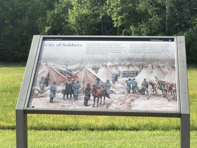
In early March 1862, these now quiet fields bustled with the clamor and constant motion of an army headquarters in time of battle. Soldiers drilled, cleaned guns, and checked ammunition. Scouts and couriers rode in to report. Officers convened for councils of war. Mules brayed and teamsters swore. Teams pulling wagons and artillery rattled by.
Here, across the road from Samuel Pratt's store, decisions were made that would determine the fate of two armies - and the state of Missouri. A temporary city of soldiers covered the field before you and the surrounding area. Here you would have seen the nerve center of the Union army during the two-day fight for Pea Ridge.
There was heavy military traffic along the Telegraph Road that now lies in part under the battlefield tour road behind you.
Erected by National Park Service, U.S. Department of the Interior.
Topics. This historical marker is listed in this topic list: War, US Civil. A significant historical year for this entry is 1862.
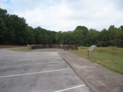
Location. 36° 26.459′ N, 94° 1.934′ W. Marker is near Garfield, Arkansas, in Benton County. Marker is on Military Park Road (County Road 65), on the right when traveling west. Located at stop two, Curtis's Headquarters, on the driving tour of Pea Ridge National Military Park. Touch for map. Marker is in this post office area: Garfield AR 72732, United States of America. Touch for directions.
Other nearby markers. At least 8 other markers are within walking distance of this marker. Getting Ready To Fight (a few steps from this marker); The Enemy Is Behind Us! (a few steps from this marker); U.S. Army Headquarters 1862 (within shouting distance of this marker); They Passed This Way (approx. 0.2 miles away); That Beautiful Charge (approx. 0.6 miles away); "Dat De Shpot, Sergent!" (approx. 0.6 miles away); A Perfect Storm of Shot and Shell (approx. 0.8 miles away); Confederate Sunset (approx. 0.8 miles away). Touch for a list and map of all markers in Garfield.
Also see . . .
1. Pea Ridge National Military Park. National Park Service website entry (Submitted on September 8, 2010, by Craig Swain of Leesburg, Virginia.)
2. Pea Ridge (Elkhorn Tavern). American Battlefield Trust website entry (Submitted on November 10, 2016, by Byron Hooks of Sandy Springs, Georgia.)
Credits. This page was last revised on June 19, 2023. It was originally submitted on September 8, 2010, by Craig Swain of Leesburg, Virginia. This page has been viewed 1,303 times since then and 19 times this year. Photos: 1. submitted on June 4, 2023, by Duane and Tracy Marsteller of Murfreesboro, Tennessee. 2, 3. submitted on September 8, 2010, by Craig Swain of Leesburg, Virginia.


