
Placerville in El Dorado County, California — The American West (Pacific Coastal)
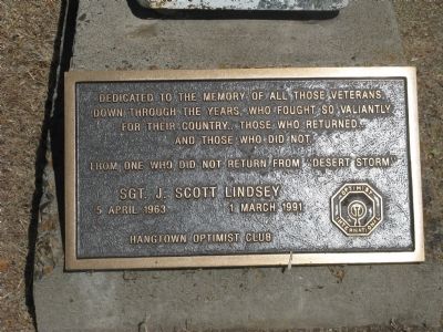
Sgt. J. Scott Lindsay
Photographed by Syd Whittle, September 9, 2010
1. Sgt. J. Scott Lindsay Marker
down through the years, who fought so valiantly
for their country.. Those who returned..
and those that did not.
From one who did not return from “Desert Storm”
Sgt. J. Scott Lindsay
5 April 1963 – 1 March 1991
Erected by Hangtown Optimist Club.
Topics. This memorial is listed in this topic list: War, 1st Iraq & Desert Storm.
Location. 38° 43.68′ N, 120° 48.281′ W. Memorial is in Placerville, California, in El Dorado County. It can be reached from Main Street (State Highway 49) near Pacific Street (State Highway 49), on the left when traveling east. Marker is located in the parking area between Carrows Restaurant and Placerville Shell Station. It is located at the caboose on display behind the Shell Station. Touch for map. Memorial is at or near this postal address: 209 Main Street, Placerville CA 95667, United States of America. Touch for directions.

Regionally, this memorial is in California’s Sacramento Metro, in the Gold Country, in the Sierra Nevada, and in the Lake Tahoe Basin.
this page online
Other nearby markers. At least 8 other markers are within walking distance of this marker: Site of Original Raley’s Grocery Store (about 300 feet away, measured in a direct line); Site of Placerville Drive In Market (about 300 feet away); Snowshoe Thompson (about 400 feet away); Placerville Pony Express (about 400 feet away); John A. "Snowshoe" Thompson (about 500 feet away); Bayles Building (1853) (about 500 feet away); Three Unfortunates Hanged (about 500 feet away); Hangmans Tree (about 600 feet away). Touch for a list and map of all markers in Placerville.
Photographed by Syd Whittle, September 9, 2010
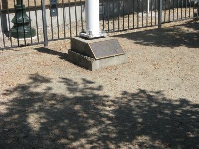
2. Sgt. J. Scott Lindsay Marker
Photographed by Syd Whittle, September 9, 2010
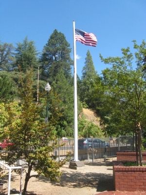
3. Sgt. J. Scott Lindsay Marker and Flag Pole
Credits. This page was last revised on June 16, 2016. It was originally submitted on September 10, 2010, by Syd Whittle of Mesa, Arizona. This page has been viewed 1,653 times since then and 37 times this year. Photos: 1, 2, 3. submitted on September 10, 2010, by Syd Whittle of Mesa, Arizona.
