Jersey City in Hudson County, New Jersey — The American Northeast (Mid-Atlantic)
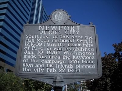
Newport
Jersey City
Half Moon anchored Sept. 11-
12, 1609. Here, the community
of Pavonia was established
Jan. 10, 1630. Washington
made this area the keystone
of the campaign, 1776. Ham-
ilton and his friends planned
the city Feb. 22, 1804.
Erected by State of New Jersey.
Topics. This historical marker is listed in these topic lists: Exploration • Settlements & Settlers • War, US Revolutionary. A significant historical month for this entry is January 1774.
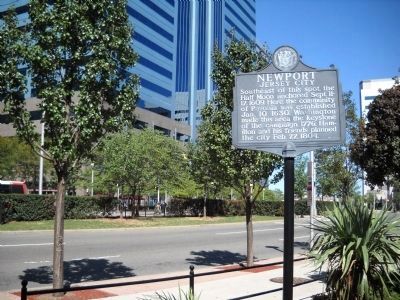
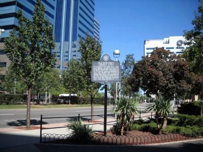
Location. 40° 43.613′ N, 74° 2.066′ W. Marker is in Jersey City, New Jersey, in Hudson County. Marker is at the intersection of Washington Blvd. and Town Square Place, on the right when traveling north on Washington Blvd.. Marker is located near the entrance to the Pavonia / Newport PATH station. Touch for map. Marker is in this post office area: Jersey City NJ 07310, United States of America. Touch for directions.
Other nearby markers. At least 8 other markers are within walking distance of this marker. 77 River Street (approx. 0.7 miles away); Southern Piers: Trains, Ferries & the Tubes (approx. ¾ mile away); World War I Embarkation Memorial (approx. 0.8 miles away); Southern Piers: (approx. 0.8 miles away); Hoboken 9/11 Memorial (approx. 0.8 miles away); Welcome to Paulus Hook Park (approx. 0.8 miles away); Paulus Hook Memorial (approx. 0.8 miles away); 105 Grand Street (approx. 0.8 miles away). Touch for a list and map of all markers in Jersey City.
Credits. This page was last revised on June 16, 2016. It was originally submitted on September 11, 2010, by Bill Coughlin of Woodland Park, New Jersey. This page has been viewed 961 times since then and 39 times this year. Photos: 1, 2, 3, 4. submitted on September 11, 2010, by Bill Coughlin of Woodland Park, New Jersey.


