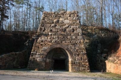
Near Ohatchee in St. Clair County, Alabama — The American South (East South Central)
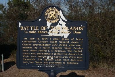
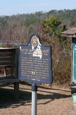
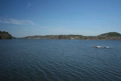
Battle of “Ten Islands”
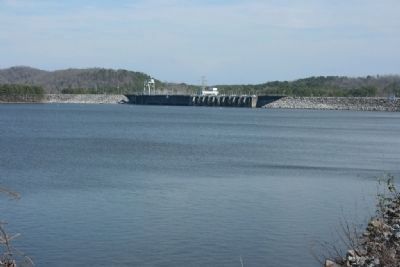
¼ mile above Neely Henry Dam
Erected by the Sgt. E Frank Harrison Camp No 1527, Sons of Confederate Veterans.
Topics and series. This historical marker is listed in these topic lists: Industry & Commerce • War, US Civil. In addition, it is included in the Sons of Confederate Veterans/United Confederate Veterans series list. A significant historical month for this entry is July 1861.
Location. 33° 47.058′ N, 86° 3.852′ W. Marker is near Ohatchee, Alabama, in St. Clair County. Marker can be reached from State Highway 144. Located in the H. Neely Henry Dam Park. Touch for map. Marker is in this post office area: Ohatchee AL 36271, United States of America. Touch for directions.
Other nearby markers. At least 8 other markers are within 10 miles of this marker, measured as the crow flies. Fort Strother (approx. 0.3 miles away); Janney Furnace (approx. 2.6 miles away); Crook Cemetery (approx. 7.6 miles away); John Looney House (approx. 7.8 miles away); The Tallasahatchie Battle Field (approx. 7.9 miles away); Lincoyer (approx. 7.9 miles away); Tallasseehatchee (approx. 9.4 miles away); Refuge Cemetery (approx. 9.7 miles away). Touch for a list and map of all markers in Ohatchee.
More about this marker. Driving Wast from Ohatchee on Alabama Highway 144, cross over the H. Neely Henry Dam. On the western side of the dam the road splits, bare right and follow road along top of the dam to the park. The marker is located next to the first parking lot on the right.
Also see . . . Rousseau's Raid. Encyclopedia of Alabama entry (Submitted on January 13, 2021, by Larry Gertner of New York, New York.)
Credits. This page was last revised on January 13, 2021. It was originally submitted on December 14, 2009, by Timothy Carr of Birmingham, Alabama. This page has been viewed 5,191 times since then and 135 times this year. Last updated on September 11, 2010, by Timothy Carr of Birmingham, Alabama. Photos: 1, 2, 3, 4, 5. submitted on December 14, 2009, by Timothy Carr of Birmingham, Alabama. • Kevin W. was the editor who published this page.
