Garfield in Benton County, Arkansas — The American South (West South Central)
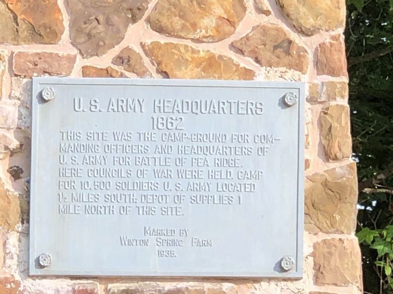
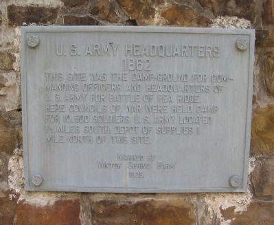
U.S. Army Headquarters 1862
This site was the camp-ground for commanding officers and headquarters of U.S. Army for Battle of Pea Ridge. Here councils of war were held. Camp for 10,500 soldiers. U.S. Army located 1 ˝ miles south. Depot of supplies 1 mile north of this site.
Erected 1935 by Winton Spring Farm.
Topics. This historical marker is listed in this topic list: War, US Civil.
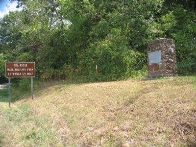
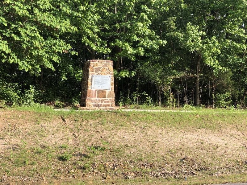
Location. 36° 26.432′ N, 94° 1.904′ W. Marker is in Garfield, Arkansas, in Benton County. Marker is on U.S. 62, on the right when traveling east. Located a half mile east of the entrance to Pea Ridge National Military Park. Touch for map. Marker is in this post office area: Garfield AR 72732, United States of America. Touch for directions.
Other nearby markers. At least 8 other markers are within walking distance of this marker. The Enemy Is Behind Us! (within shouting distance of this marker); Getting Ready To Fight (within shouting distance of this marker); City of Soldiers (within shouting distance of this marker); They Passed This Way (approx. 0.2 miles away); That Beautiful Charge (approx. 0.6 miles away); "Dat De Shpot, Sergent!" (approx. 0.6 miles away); A Perfect Storm of Shot and Shell (approx. 0.8 miles away); Confederate Sunset (approx. 0.8 miles away). Touch for a list and map of all markers in Garfield.
Also see . . .
1. Pea Ridge National Military Park. National Park Service website entry (Submitted on September 13, 2010, by Craig Swain of Leesburg, Virginia.)
2. Pea Ridge (Elkhorn Tavern). American Battlefield Trust website entry (Submitted on May 8, 2021, by Larry Gertner of New York, New York.)
Credits. This page was last revised on June 19, 2023. It was originally submitted on September 13, 2010, by Craig Swain of Leesburg, Virginia. This page has been viewed 1,114 times since then and 11 times this year. Photos: 1. submitted on June 4, 2023, by Duane and Tracy Marsteller of Murfreesboro, Tennessee. 2, 3. submitted on September 13, 2010, by Craig Swain of Leesburg, Virginia. 4. submitted on June 4, 2023, by Duane and Tracy Marsteller of Murfreesboro, Tennessee.


