Springfield Township near Mount Holly in Burlington County, New Jersey — The American Northeast (Mid-Atlantic)
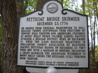
Petticoat Bridge Skirmish
December 23, 1776
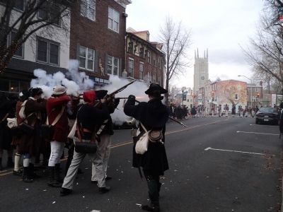
On orders from General Washington to pull Hessian troops southward from positions of support near Trenton, 600 Americans, stationed at Mount Holly under Colonel Samuel Griffin, attacked a Hessian outpost here on December 21. When the 3,000 Hessians quartered in Burlington County retaliated by marching against Petticoat Bridge on December 23, they were met with a barrage of gunfire. Following a sharp skirmish, the Americans withdrew to Mount Holly luring the Hessians still further from Trenton.
Burlington County Board of Chosen Freeholders
Burlington County Cultural & Heritage Commission
Erected by County of Burlington.
Topics and series. This historical marker is listed in this topic list: War, US Revolutionary. In addition, it is included in the Former U.S. Presidents: #01 George Washington series list. A significant historical month for this entry is December 1776.
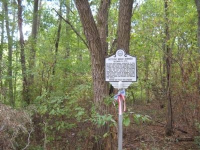
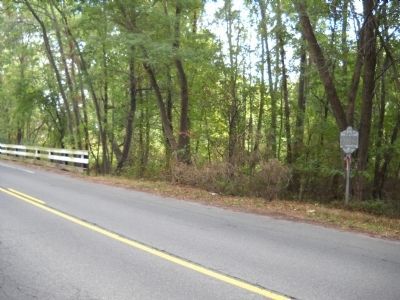
Location. 40° 3.209′ N, 74° 44.546′ W. Marker is near Mount Holly, New Jersey, in Burlington County. It is in Springfield Township. Marker is on Petticoat Bridge Road, on the right when traveling north. Marker is located by the bridge at the Springfield / Mansfield border. Touch for map. Marker is in this post office area: Bordentown NJ 08505, United States of America. Touch for directions.
Other nearby markers. At least 8 other markers are within 5 miles of this marker, measured as the crow flies. Revolutionary War Hospital (approx. 0.7 miles away); The Keeler Oak (approx. 1.2 miles away); a different marker also named The Keeler Oak (approx. 1.2 miles away); On a Tree South of this Spot (approx. 1.4 miles away); Hunt Brothers Circus (approx. 4.3 miles away); Kinkora Branch Railroad (approx. 4.4 miles away); Mansion of James Langstaff (approx. 4˝ miles away); Historic Smithville Park (approx. 4.6 miles away). Touch for a list and map of all markers in Mount Holly.
Credits. This page was last revised on February 7, 2023. It was originally submitted on September 18, 2010, by Bill Coughlin of Woodland Park, New Jersey. This page has been viewed 2,155 times since then and 90 times this year. Photos: 1, 2, 3, 4. submitted on September 18, 2010, by Bill Coughlin of Woodland Park, New Jersey. 5. submitted on December 14, 2014, by Bill Coughlin of Woodland Park, New Jersey.
