Near Rescue in Isle of Wight County, Virginia — The American South (Mid-Atlantic)
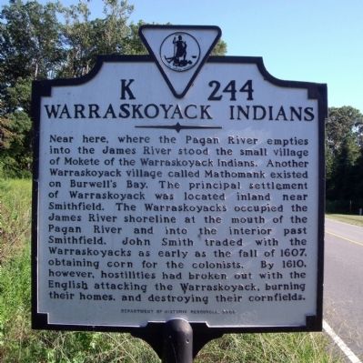
Warraskoyack Indians
Erected 2000 by Department of Historic Resources. (Marker Number K-244.)
Topics and series. This historical marker is listed in these topic lists: Native Americans • Settlements & Settlers. In addition, it is included in the Virginia Department of Historic Resources (DHR) series list. A significant historical year for this entry is 1607.
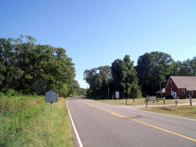
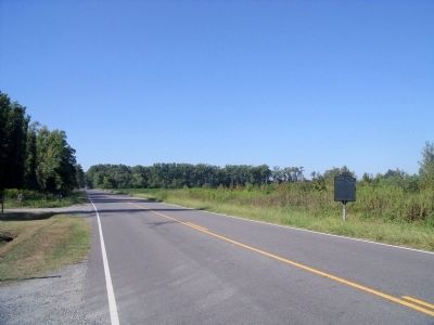
Location. This marker has been replaced by another marker nearby. It was located near 36° 59.618′ N, 76° 33.111′ W. Marker was near Rescue, Virginia, in Isle of Wight County. Marker was on Smiths Neck Road (Virginia Route 665) 0.1 miles south of Kings Lane, on the left when traveling south. Touch for map. Marker was at or near this postal address: 10696 Smiths Neck Rd, Carrollton VA 23314, United States of America. Touch for directions.
Other nearby markers. At least 8 other markers are within 4 miles of this location, measured as the crow flies. A different marker also named Warraskoyack Indians (here, next to this marker); Nike-Ajax Missile Radar Control Site N-75C (approx. 1.4 miles away); 1954 Nike-Ajax Missile Site N-75L (approx. 2.2 miles away); People and Places, circa 1957 at N-75L (approx. 2.3 miles away); Missile Magazine and Launch Operations (approx. 2.3 miles away); James River (approx. 2.8 miles away); Josiah Parker (approx. 3.3 miles away); Liquid Maze (approx. 4.1 miles away).
Related marker. Click here for another marker that is related to this marker. New Marker At This Location also titled "Warraskoyack Indians".
Also see . . . The Warraskoyack: A Brief History. St. Luke's Historic Church & Museum (Submitted on September 20, 2010.)
Credits. This page was last revised on November 9, 2021. It was originally submitted on September 20, 2010, by Bernard Fisher of Richmond, Virginia. This page has been viewed 1,297 times since then and 92 times this year. Photos: 1, 2, 3. submitted on September 20, 2010, by Bernard Fisher of Richmond, Virginia.


