Near Irmo in Richland County, South Carolina — The American South (South Atlantic)
St. Paul Church / Oak Grove
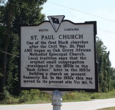
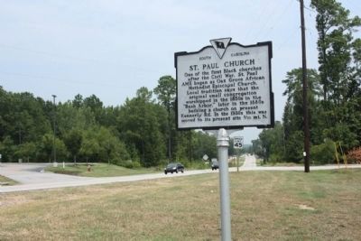
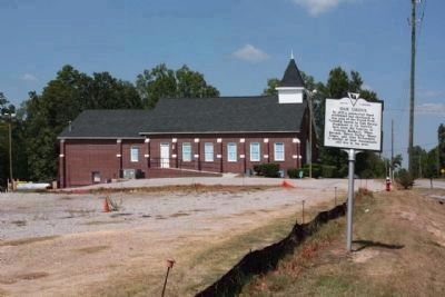
One of the first black churches after the Civil War, St. Paul AME began as Oak Grove African Methodist Episcopal Church. Local tradition says that the original small congregation worshipped in the 1850s in the "Bush Arbor;" later in the 1880s building a church on present Kennerly Rd. In the 1930s this was moved to its present site 3/10 mi. N.
Oak Grove
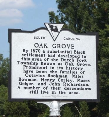
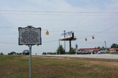
By 1870 a substantial black settlement had developed in this area of the Dutch Fork Township known as Oak Grove. Prominent in its history have been the families of Octavius Bookman, Miles Bowman, Henry Corley, Moses Geiger, and John Richardson. A number of their descendants still live in the area.
Erected 1985 by The Irmo-St. Andrews Women's Society. (Marker Number 40-95.)
Topics and series. This historical marker is listed in these topic lists: African Americans • Churches & Religion • Settlements & Settlers. In addition, it is included in the African Methodist Episcopal (AME) Church series list. A significant historical year for this entry is 1870.
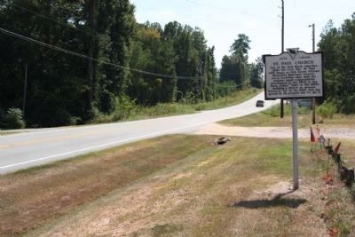
Location. 34° 5.812′ N, 81° 9.618′ W. Marker is near Irmo, South Carolina, in Richland County. Marker is on Kennerly Road near Broad River Road (U.S. 176), on the right when traveling south . Touch for map. Marker is at or near this postal address: Kennerly Road, Irmo SC 29063, United States of America. Touch for directions.
Other nearby markers. At least 8 other markers are within 6 miles of this marker, measured as the crow flies. Town of Irmo (approx. 1˝ miles away); Richlex School Site (approx. 1.6 miles away); Bethlehem Church (approx. 2 miles away); Pine Grove Rosenwald School (approx. 3.2 miles away); St. Andrew's Lutheran Church (approx. 3.9 miles away); World War II Bombing Ranges (approx. 4.2 miles away); Lake Murray (approx. 4.2 miles away); Zion Lutheran Church / Dreher's Fort (approx. 5.3 miles away). Touch for a list and map of all markers in Irmo.
Additional commentary.
1.
Marker relocated, 2011 from coordinates 34.096873,-81.160292 to present location
— Submitted August 1, 2011, by Mike Stroud of Bluffton, South Carolina.
Credits. This page was last revised on December 5, 2020. It was originally submitted on September 21, 2010, by Mike Stroud of Bluffton, South Carolina. This page has been viewed 1,361 times since then and 54 times this year. Photos: 1, 2. submitted on September 21, 2010, by Mike Stroud of Bluffton, South Carolina. 3, 4. submitted on August 1, 2011, by Mike Stroud of Bluffton, South Carolina. 5, 6. submitted on September 21, 2010, by Mike Stroud of Bluffton, South Carolina.
