Speers Ferry in Scott County, Virginia — The American South (Mid-Atlantic)
Speers Ferry
The Crooked Road
| — | Virginia’s Heritage Music Trail | — |
Photographed by Craig Swain, September 5, 2010
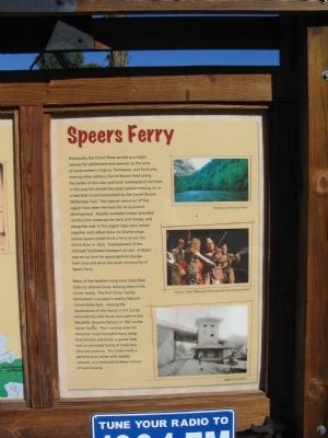
1. Speers Ferry Side
This side displays photos of Canoeing on the Clinch River, Clarence "Tater" Tate performing with the ETSU Bluegrass Band, and the Speers Ferry Depot.
Many of the families living here trace their roots to colonial times. Among them is the Carter family. The first Carter family homestead is located in nearby Natural Tunnel State Park. Among the descendants of this family is A.P. Carter, who with his wife
this page online
(Left Side)
Virginia's Heritage Music Trail
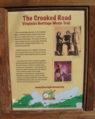
Old time mountain music, bluegrass, and gospel can be enjoyed all year long and several museums are devoted to showcasing the area's rich musical heritage.
The Crooked Road winds through the ruggedly beautiful Appalachian Mountains and leads you to the major hotspots of old time mountain music, country music, and bluegrass. Alive and kickin' for today's fans, these venues preserve and celebrate musical traditions passed down
Photographed by Craig Swain, September 5, 2010
2. The Crooked Road Side
This side features photos of the Carter Family and Dr. Ralph Stanley. At the bottom is a map of the Crooked Road trail.
Topics and series. This historical marker is listed in these topic lists: Entertainment • Settlements & Settlers. In addition, it is included in the The Crooked Road: Virginia’s Heritage Music Trail series list. A significant historical year for this entry is 1833.
Location. 36° 39.307′ N, 82° 44.807′ W. Marker is in Speers Ferry, Virginia, in Scott County. It is on Orby Cantrell Highway (U.S. 58), on the right when traveling north. Located at a pull off providing a view of the Clinch River and railroad bridges. Touch for map. Marker is in this post office area: Duffield VA 24244, United States of America. Touch for directions.

Regionally, this marker is in the Tri-Cities Area and in Southwest Virginia. It is also in the American South, specifically in the Upper South, in Appalachia, and specifically in Southern Appalachia. Globally, it is in North America, the Western Hemisphere,
Photographed by Craig Swain, September 5, 2010
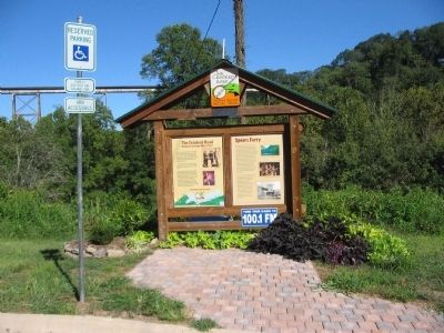
3. The Crooked Road / Speers Ferry Marker
Other nearby markers. At least 8 other markers are within 5 miles of this marker, measured as the crow flies: Natural Tunnel: Railroading and Recreation (within shouting distance of this marker); The Copper Creek Railroad Trestles (within shouting distance of this marker); The Wilderness Road Crossing of the Clinch River (within shouting distance of this marker); Carter’s Fort (approx. 2.8 miles away); The Natural Tunnel Route (approx. 3.2 miles away); a different marker also named Carter’s Fort (approx. 4½ miles away); Daniel Boone Trail (approx. 4.7 miles away); The Crooked Road / Duffield (approx. 4.7 miles away). Touch for a list and map of all markers in Speers Ferry.
Also see . . . The Crooked Road Music Heritage Trail. The web site offers details of other heritage stops and performance schedules. (Submitted on September 23, 2010, by Craig Swain of Leesburg, Virginia.)
Photographed by Tom Bosse, June 11, 2021
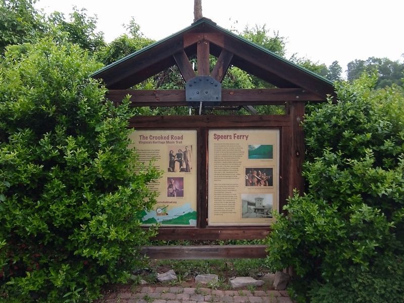
4. Speers Ferry Marker
Credits. This page was last revised on July 12, 2021. It was originally submitted on September 23, 2010, by Craig Swain of Leesburg, Virginia. This page has been viewed 3,789 times since then and 126 times this year. Photos: 1, 2, 3. submitted on September 23, 2010, by Craig Swain of Leesburg, Virginia. 4. submitted on July 11, 2021, by Tom Bosse of Jefferson City, Tennessee.
