Near Plymouth in Marshall County, Indiana — The American Midwest (Great Lakes)
Chief Menominee
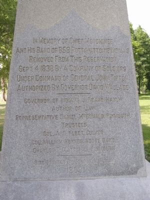
Photographed by Christopher Light, June 25, 2007
1. Chief Menominee Monument
Site Donated by John A. McFarlin
Erected 1909 by State of Indiana.
Topics and series. This historical marker is listed in these topic lists: Government & Politics • Indigenous Peoples and Communities. In addition, it is included in the Potawatomi Trail of Death series list. A significant historical date for this entry is September 4, 1838.
Location. 41° 17.711′ N, 86° 21.713′ W. Marker is near Plymouth, Indiana, in Marshall County. It is on Peach Road, on the right when traveling north. About 1 mile south of Twin Lakes (West 12th) on South Peach Rd. About ½ mile north of West 13th. Touch for map. Marker is in this post office
this page online

Regionally, this marker is in Northern Indiana and in Greater South Bend. It is also in the American Midwest and in the Corn Belt. Globally, it is in North America, the Western Hemisphere, the Western World, and the Anglosphere. Historically, it finds itself in what was once the territory of the Mississippian Culture and also the Northwest Territory.
Other nearby markers. At least 8 other markers are within 5 miles of this marker, measured as the crow flies: Potawatomi Indian Village (here, next to this marker); Plymouth Firemans Memorial (approx. 3.4 miles away); First Meeting of Marshall County (approx. 3.8 miles away); Plymouth's First Fire Alarm (approx. 4.2 miles away); Taber Cemetery (approx. 4.3 miles away); Honor Roll - Marshall County Indiana (approx. 4.3 miles away); Replica of The Statue of Liberty (approx. 4.3 miles away); Marshall County 9-11 Memorial (approx. 4.3 miles away). Touch for a list and map of all markers in Plymouth.
Other markers no longer nearby. Menominee Chapel (was approx. 0.6 miles away but has been reported to
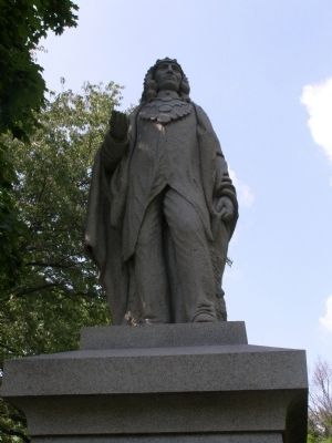
Photographed by Christopher Light, June 25, 2007
2. Chief Menominee
1909 granite sculpture by Samuel Novelli and Joseph
Calcagni, under the direction of Samuel Novelli and Joseph Calcagni. It is approximately 7 feet tall on a 10 foot granite base.
More about this marker. The sculpture was funded by a 1907 state appropriation. Samuel Novelli and Joseph Calcagni of Barre, Vermont, sculpted the monument to the design of the local contract-holder, Frank Southworth. (Samuel Novelli is sometimes confused with the younger New York sculptor James Novelli.) Originally, the site included a small replica of the Roman Catholic log chapel in Menominee's village. The statue stands where the Vandalia (later Pennsylvania) Railroad crossed the county road; McFarlin was willing to give this land for free, while the owners of the actual site of Menominee's village, on the north side of the lake, wanted to be paid for any land that might be used.
Regarding Chief Menominee. Chief Menominee (1791-1841) was head of the Pottowattomie Indian tribe which lived in the Twin Lakes area; there were several other reserves in the Marshall County area, including those of Chiefs Neeswaugee, Quaushquo, Benack, and Aubenaubee. Menominee never signed the treaty giving up his
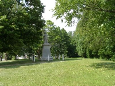
Photographed by Christopher Light, June 25, 2007
3. Monument at Chief Menominee Park
Additional keywords. Trail of Death, forced removal
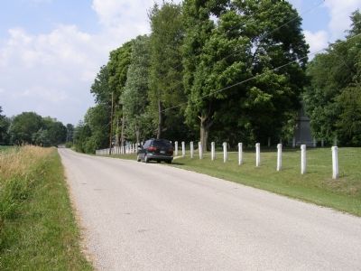
Photographed by Christopher Light, June 25, 2007
4. Chief Menominee Park and area of reservation
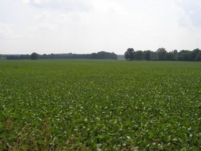
Photographed by Christopher Light, June 25, 2007
5. Indian lands now growing corn
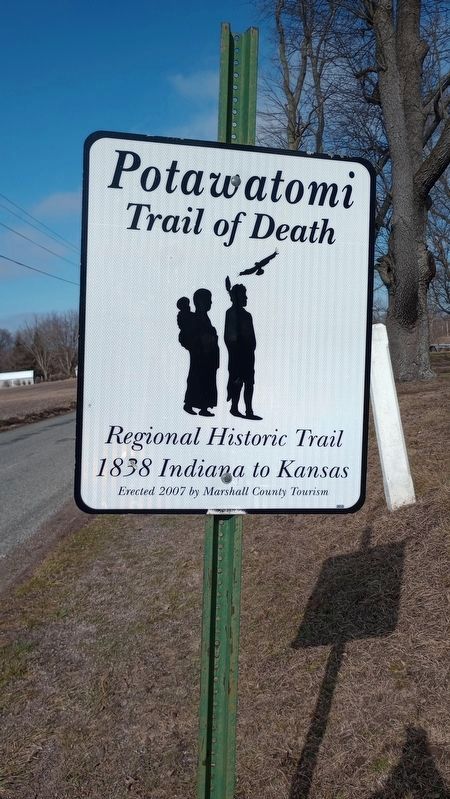
Photographed by Craig Doda, February 3, 2024
6. Chief Menominee Marker
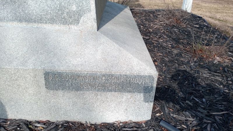
Photographed by Craig Doda, February 3, 2024
7. Chief Menominee Marker
Credits. This page was last revised on February 19, 2024. It was originally submitted on September 4, 2007, by Christopher Light of Valparaiso, Indiana. This page has been viewed 5,435 times since then and 171 times this year. Last updated on September 24, 2010. Photos: 1, 2, 3, 4, 5. submitted on September 4, 2007, by Christopher Light of Valparaiso, Indiana. 6, 7. submitted on February 8, 2024, by Craig Doda of Napoleon, Ohio. • Syd Whittle was the editor who published this page.
