Poplar Bluff in Butler County, Missouri — The American Midwest (Upper Plains)
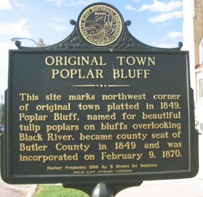
Original Town Poplar Bluff
Erected 1989 by Poplar Bluff Historical Commission, presented by 3 Rivers Board of Realtors.
Topics. This historical marker is listed in this topic list: Settlements & Settlers. A significant historical month for this entry is February 1828.
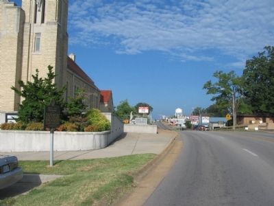
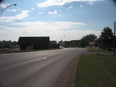
Location. 36° 45.5′ N, 90° 24.003′ W. Marker is in Poplar Bluff, Missouri, in Butler County. Marker is at the intersection of West Pine Street (U.S. 60) and North 8th Street, on the right when traveling east on West Pine Street. Located in front of the Sacred Heart Catholic Church. Touch for map. Marker is in this post office area: Poplar Bluff MO 63901, United States of America. Touch for directions.
Other nearby markers. At least 6 other markers are within walking distance of this marker. First Presbyterian Church USA (approx. 0.4 miles away); Pvt. Billie Gene Kanell (approx. 0.4 miles away); Historic Brick Streets (approx. 0.4 miles away); Poplar Bluff (approx. 0.4 miles away); Poplar Bluff Historic Depot (approx. half a mile away); a different marker also named Poplar Bluff (approx. half a mile away).
Also see . . . Poplar Bluff . Wikipedia entry for Poplar Bluff. (Submitted on September 24, 2010, by Craig Swain of Leesburg, Virginia.)
Credits. This page was last revised on June 16, 2016. It was originally submitted on September 24, 2010, by Craig Swain of Leesburg, Virginia. This page has been viewed 1,129 times since then and 27 times this year. Photos: 1, 2, 3. submitted on September 24, 2010, by Craig Swain of Leesburg, Virginia.


