Near Fortson in Harris County, Georgia — The American South (South Atlantic)
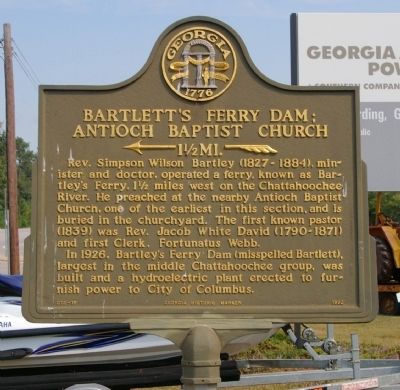
Bartlett's Ferry Dam; Antioch Baptist Church
<-- 1 ˝ MI. --<
Inscription.
Rev. Simpson Wilson Barley (1827-1884), minister and doctor, operated a ferry, known as Bartley’s Ferry, 1 ½ miles west on the Chattahoochee River. He preached at the nearby Antioch Baptist Church, one of the earliest in this section, and is buried in the churchyard. The first known pastor (1839) was Rev. Jacob White David (1790-1871) and first Clerk, Fortunatus Webb.
In 1926, Barley’s Ferry Dam (misspelled Bartlett), largest in the middle Chattahoochee group, was built and a hydroelectric plant erected to furnish power to City of Columbus.
Erected 1992 by Georgia Department of Natural Resources. (Marker Number 072-10.)
Topics and series. This historical marker is listed in these topic lists: Bridges & Viaducts • Churches & Religion • Industry & Commerce. In addition, it is included in the Georgia Historical Society series list. A significant historical year for this entry is 1926.
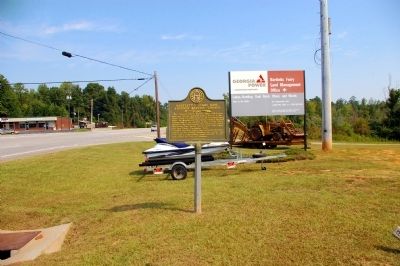
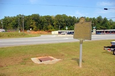
Location. 32° 40.423′ N, 85° 3.507′ W. Marker is near Fortson, Georgia, in Harris County. Marker is at the intersection of Georgia Route 219 and Bartlett's Ferry Road, on the right when traveling north on State Route 219. Touch for map. Marker is in this post office area: Fortson GA 31808, United States of America. Touch for directions.
Other nearby markers. At least 8 other markers are within 11 miles of this marker, measured as the crow flies. Mountain Hill District Consolidated School (approx. 2˝ miles away); Camp McKenzie (approx. 5.9 miles away); Fortson General Store (approx. 8.4 miles away); Fortson House/The Fortson Community (approx. 8˝ miles away); The Jones Store (approx. 9.7 miles away in Alabama); Line 32° 28´ North Latitude (approx. 10 miles away in Alabama); Whitesville (approx. 10.1 miles away); Whitesville Methodist Episcopal Church, South (approx. 10.2 miles away). Touch for a list and map of all markers in Fortson.
More about this marker. This marker replaced an earlier marker of the same title and text, erected by the Georgia Historical Commission at this location.
Credits. This page was last revised on June 16, 2016. It was originally submitted on September 25, 2010, by David Seibert of Sandy Springs, Georgia. This page has been viewed 1,148 times since then and 25 times this year. Photos: 1, 2, 3. submitted on September 25, 2010, by David Seibert of Sandy Springs, Georgia. • Craig Swain was the editor who published this page.


