Near Van Buren in Carter County, Missouri — The American Midwest (Upper Plains)
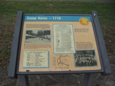
Camp Hains - 1710
Memories of Camp Hains
March 30, 1934
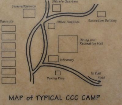
For the first four months at Camp Hains, the C's lived in tents in the clearing in front of you. In early October, 1933, the tents were abandoned for permanent barracks on the hill above the lodge. In 1936, the camp moved again to an adjacent camp where it stayed until camp closed in April, 1937.
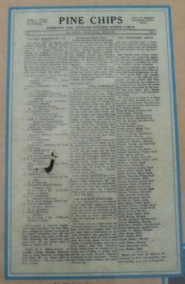
A company usually published its own paper to keep the enrollees involved in the news of camp. The 1710 paper PINE CHIPS, came out weekly at a subscription cost of 5 cents per month.
Boxing, Baseball, and Typing
After hours, enrollees played baseball against area teams, boxed and attended occasional dances in the mess/recreational hall. Many boys took advantage of educational opportunities by taking classes in subjects such as typing, auto mechanics, chemistry and cooking.
- CCC Camp Routine -
6:30 .... Reveille
7:30 .... Breakfast
8:00.... Work Project
12:00.... Lunch
1:00 .... Return to Work
4:00 .... Own Time (wash clothes)
5:00 .... Supper
6:00-10:00 .... Free Time
10:30 .... Lights Out
Topics. This historical marker is listed in these topic lists: Charity & Public Work • Communications • Parks & Recreational Areas. A significant historical month for this entry is March 1933.
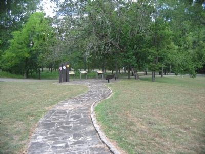
Location. 36° 56.875′ N, 90° 59.6′ W. Marker is near Van Buren, Missouri, in Carter County. Marker is at the intersection of State Highway Z and Pea Vine Road (State Highway 103), on the right when traveling north on State Highway Z. Located in the Big Springs unit of the Ozark National Scenic Riverways, in front of the park information center. Touch for map. Marker is in this post office area: Van Buren MO 63965, United States of America. Touch for directions.
Other nearby markers. At least 7 other markers are within 4 miles of this marker, measured as the crow flies. CCC - A Peace-Time Army (here, next to this marker); There Was Work To Be Done (a few steps from this marker); Building Human Happiness (about 600 feet away, measured in a direct line); Big Spring: A Karst Topography (approx. 0.3 miles away); Big Spring (approx. 0.3 miles away); Van Buren (approx. 3˝ miles away); Carter County Veterans Memorial (approx. 3˝ miles away).
Credits. This page was last revised on January 20, 2020. It was originally submitted on September 26, 2010, by Craig Swain of Leesburg, Virginia. This page has been viewed 762 times since then and 12 times this year. Photos: 1, 2, 3, 4. submitted on September 26, 2010, by Craig Swain of Leesburg, Virginia.


