Near Osceola in Mississippi County, Arkansas — The American South (West South Central)
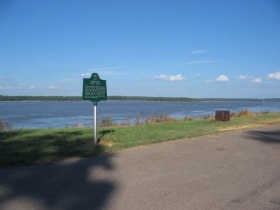
Mississippi River Levee
Topics. This historical marker is listed in this topic list: Waterways & Vessels. A significant historical year for this entry is 1927.
Location. 35° 39.282′ N, 89° 55.485′ W. Marker is near Osceola, Arkansas, in Mississippi County. Marker is on State Highway 198 when traveling east. Located at the Sans Souci Landing parking lot. Touch for map. Marker is in this post office area: Osceola AR 72370, United States of America. Touch for directions.
Other nearby markers. At least 8 other markers are within 4 miles of this marker, measured as the crow flies. Osceola Hornets (within shouting distance of this marker); Fighting Near Osceola (within shouting distance of this marker); Battle of Plum Run Bend (within shouting distance of this marker); Mark Twain's Plum Point Landing & Overlook (about 300 feet away, measured in a direct line); Sans Souci (about 300 feet away); Calvary Episcopal Church (approx. 4.1 miles away); Planters Bank Building (approx. 4.1 miles away); Bank of Osceola (approx. 4.1 miles away). Touch for a list and map of all markers in Osceola.
Credits. This page was last revised on June 16, 2016. It was originally submitted on September 30, 2010, by Craig Swain of Leesburg, Virginia. This page has been viewed 1,556 times since then and 22 times this year. Photos: 1, 2, 3. submitted on September 30, 2010, by Craig Swain of Leesburg, Virginia.


