Gloucester in Essex County, Massachusetts — The American Northeast (New England)
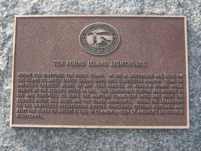
Ten Pound Island Lighthouse
Topics and series. This historical marker is listed in these topic lists: Communications • Waterways & Vessels. In addition, it is included in the Lighthouses series list. A significant historical year for this entry is 1821.
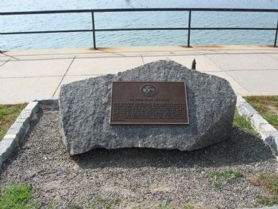
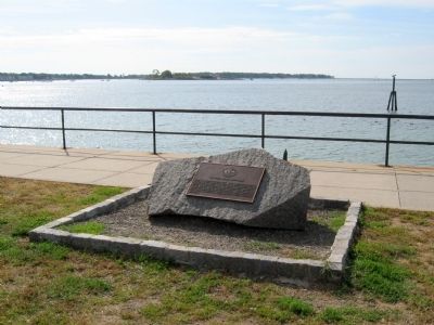
Location. 42° 36.607′ N, 70° 40.197′ W. Marker is in Gloucester, Massachusetts, in Essex County. Marker is at the intersection of Western Avenue (Massachusetts Route 127) and Middle Street, on the right when traveling north on Western Avenue. Located in Stacy Boulevard Waterfront Park. Touch for map. Marker is in this post office area: Gloucester MA 01930, United States of America. Touch for directions.
Other nearby markers. At least 8 other markers are within walking distance of this marker. Gloucester Fishermen's Memorial (a few steps from this marker); Coast Guard Aviation Monument (within shouting distance of this marker); Gloucester Korean – Vietnam Veterans Monument (about 700 feet away, measured in a direct line); Stacy Esplanade (approx. 0.2 miles away); Blynman Bridge (approx. 0.2 miles away); Anna Vaughn Hyatt Huntington (approx. 0.2 miles away); James Tappan (approx. 0.2 miles away); Gloucester Fishermen's Wives Memorial (approx. ¼ mile away). Touch for a list and map of all markers in Gloucester.
Regarding Ten Pound Island Lighthouse. In the early days, the settlers let sheep graze on the island. There was room for ten paddocks or "pounds" on the island.
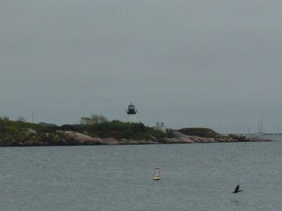
Ten Pound Island Lighthouse, 1881. Once a center of Coast Guard activity and known as "Base 7," there were seaplanes based on the island that were used for search and rescue operations. Most of the missions flown by the Coast Guard were actually in search of the notorious and elusive "rum-runners" during the days of Prohibition. One such boat, known as the "Black Duck" was known for its rum-running. Often the Coast Guard planes would follow the "Black Duck" continuously, circling overhead until it pulled into port where police had been notified to make arrests and confiscate the liquor. After the Coast Guard vacated the island, it was used for a fish hatchery.
Also see . . . Ten Pound Island Light. (Submitted on October 3, 2010, by Michael Herrick of Southbury, Connecticut.)
Credits. This page was last revised on September 29, 2020. It was originally submitted on October 3, 2010, by Michael Herrick of Southbury, Connecticut. This page has been viewed 987 times since then and 18 times this year. Photos: 1, 2, 3. submitted on October 3, 2010, by Michael Herrick of Southbury, Connecticut. 4. submitted on January 23, 2012, by Mike Wintermantel of Pittsburgh, Pennsylvania.


