River Edge in Bergen County, New Jersey — The American Northeast (Mid-Atlantic)
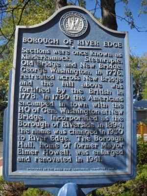
Borough of River Edge
Sections were once known as Kindermack, Steenrapie, Old Bridge and New Bridge. George Washington, in 1776, retreated across New Bridge and the hill above was fortified by the British in 1778. In 1780 the Americans encamped in town with the HQ of Gen. Washington at New Bridge. Incorporated as the Borough of Riverside in 1894, the name was changed in 1930 to River Edge. The Borough Hall, home of former Mayor Elmer Howell, was enlarged and renovated in 1941.
Erected 1994 by Bergen County Historical Society.
Topics and series. This historical marker is listed in these topic lists: Settlements & Settlers • War, US Revolutionary. In addition, it is included in the New Jersey, Bergen County Historical Society series list. A significant historical year for this entry is 1776.
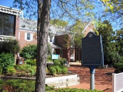
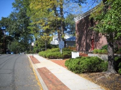
Location. 40° 55.93′ N, 74° 2.052′ W. Marker is in River Edge, New Jersey, in Bergen County. Marker is at the intersection of Tenney Avenue and Kindermkerack, on the right when traveling west on Tenney Avenue. Marker is located next to the River Edge Borough Hall. Touch for map. Marker is at or near this postal address: 705 Kindermkerack Road, River Edge NJ 07661, United States of America. Touch for directions.
Other nearby markers. At least 8 other markers are within walking distance of this marker. River Edge WWI Memorial (approx. 0.3 miles away); Maj. Ross E. Mulhare, U.S.A.F. (approx. 0.3 miles away); "The Soldier" (approx. 0.3 miles away); Wars Memorial (approx. 0.3 miles away); Demarest-Bloomer House (approx. 0.4 miles away); Jacobus Demarest Homestead (approx. half a mile away); French Burying Ground (approx. 0.6 miles away); Site of the French Church and Cemetery (approx. 0.7 miles away). Touch for a list and map of all markers in River Edge.
Also see . . . Bergen County Historical Society. Society website homepage (Submitted on October 3, 2010, by Bill Coughlin of Woodland Park, New Jersey.)
Credits. This page was last revised on December 14, 2021. It was originally submitted on October 3, 2010, by Bill Coughlin of Woodland Park, New Jersey. This page has been viewed 1,015 times since then and 28 times this year. Photos: 1, 2, 3. submitted on October 3, 2010, by Bill Coughlin of Woodland Park, New Jersey.


