Farmington in San Juan County, New Mexico — The American Mountains (Southwest)
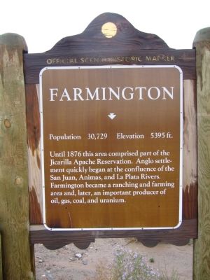
Farmington
Population 30,792 Elevation 5395 ft
Topics. This historical marker is listed in this topic list: Notable Places. A significant historical year for this entry is 1876.
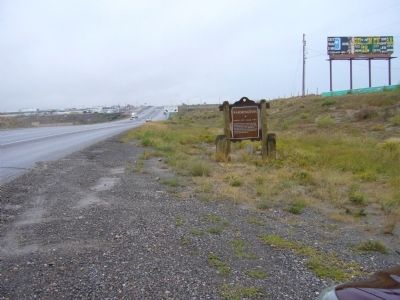
Location. 36° 44.385′ N, 108° 16.891′ W. Marker is in Farmington, New Mexico, in San Juan County. Marker is on West Main Street (U.S. 64 at milepost 46.1), on the right when traveling east. Touch for map. Marker is in this post office area: Farmington NM 87401, United States of America. Touch for directions.
Other nearby markers. At least 5 other markers are within 7 miles of this marker, measured as the crow flies. Farmington, New Mexico (approx. 4 miles away); Settlement of Kirtland (approx. 4.2 miles away); The Hunters (approx. 4.3 miles away); Footloose in Farmington: (approx. 4.3 miles away); Harriet Belle Amsden Sammons (1876-1954) (approx. 6.3 miles away).
Credits. This page was last revised on June 16, 2016. It was originally submitted on October 3, 2010, by Bill Kirchner of Tucson, Arizona. This page has been viewed 733 times since then and 17 times this year. Photos: 1, 2, 3. submitted on October 3, 2010, by Bill Kirchner of Tucson, Arizona. • Syd Whittle was the editor who published this page.


