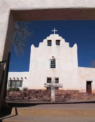
Near Laguna in Cibola County, New Mexico — The American Mountains (Southwest)
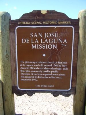
San José De La Laguna Mission
(Front of Marker:)
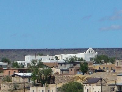
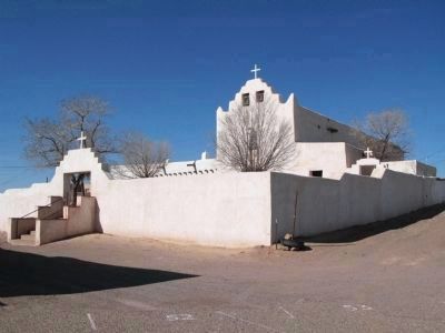
The picturesque mission church of San José de la Laguna was built around 1706 by Fray Antonio Miranda and shows the single – aisle floor plan commonly used in pueblo churches. It has been repaired many times, and acquired its distinctive white stucco exterior in 1977.
Rear of Marker:
Topics. This historical marker is listed in this topic list: Native Americans. A significant historical year for this entry is 1706.
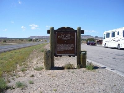
Location. 35° 1.893′ N, 107° 22.911′ W. Marker is near Laguna, New Mexico, in Cibola County. Marker is on Interstate 40 at milepost 113.5, on the right when traveling west. Marker is located at the westbound rest area on I-40. Touch for map. Marker is in this post office area: Laguna NM 87026, United States of America. Touch for directions.
Other nearby markers. At least 8 other markers are within 11 miles of this marker, measured as the crow flies. A different marker also named San José De La Laguna Mission (within shouting distance of this marker); Susie Rayos Marmon - Ga-wa goo maa (Early Riser) (within shouting distance of this marker); Pueblo of Laguna (about 300 feet away, measured in a direct line); a different marker also named Pueblo of Laguna (about 400 feet away); Post World War II (approx. 0.6 miles away); Trade - Tourism - Economy (approx. 0.6 miles away); The Battle of Khe Sanh Vietnam, 1968 (approx. 7½ miles away); a different marker also named Pueblo of Laguna (approx. 10.2 miles away). Touch for a list and map of all markers in Laguna.
More about this marker. See the Nearby twin marker for additional photos and information.
Credits. This page was last revised on June 16, 2016. It was originally submitted on October 4, 2010, by Bill Kirchner of Tucson, Arizona. This page has been viewed 1,272 times since then and 26 times this year. Photos: 1, 2, 3, 4. submitted on October 4, 2010, by Bill Kirchner of Tucson, Arizona. 5, 6. submitted on May 12, 2014, by Richard Denney of Austin, Texas. • Syd Whittle was the editor who published this page.
