Near Deersville in Harrison County, Ohio — The American Midwest (Great Lakes)
The Seven Ranges
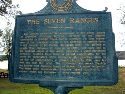
Photographed by Jamie Abel, October 2, 2010
1. The Seven Ranges Marker
Erected 1965 by Harrison County Historical Society. (Marker Number 2.)
Topics. This historical marker is listed in these topic lists: Settlements & Settlers • War, US Revolutionary. A significant historical year for this entry is 1801.
Location. 40° 21.531′ N, 81° 12.982′ W.
this page online

Regionally, this marker is in the American Midwest, in Appalachia, and specifically in Northern Appalachia. Globally, it is in North America, the Western Hemisphere, the Western World, and the Anglosphere. Historically, it finds itself in what was once the Haudenosaunee (Iroquois) Confederacy, the territory of the Mississippian Culture, and the Northwest Territory.
Other nearby markers. At least 8 other markers are within 4 miles of this marker, measured as the crow flies: Tappan (approx. half a mile away); Tappan Dam (approx. 0.6 miles away); a different marker also named Tappan (approx. 1.6 miles away); Mary L. Jobe Akeley / Harry F. Hazlett (approx. 3.8 miles away); Moravian House (approx. 3.8 miles away); Hazel's House (approx. 3.8 miles away); The Moravian Trail (approx. 3.8 miles away); Deersville (approx. 3.8 miles away). Touch for a list and map
Photographed by Jamie Abel, October 2, 2010
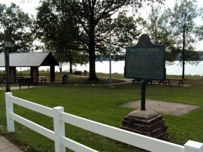
2. The Seven Ranges Marker
More about this marker. The marker sits in a roadside rest area along Tappan Lake, just a half-mile east of the dam.
Photographed by Jamie Abel, October 2, 2010
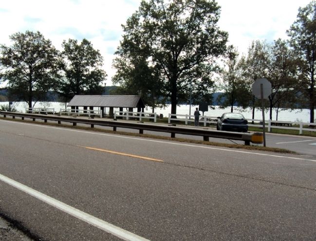
3. The Seven Ranges Marker
The marker is in a roadside rest between U.S. Route 250 and Tappan Lake.
Credits. This page was last revised on June 16, 2016. It was originally submitted on October 4, 2010, by Jamie Abel of Westerville, Ohio. This page has been viewed 2,070 times since then and 80 times this year. Photos: 1, 2, 3. submitted on October 4, 2010, by Jamie Abel of Westerville, Ohio. • Bill Pfingsten was the editor who published this page.
