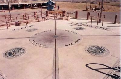
Near Cortez in Montezuma County, Colorado — The American Mountains (Southwest)
Colorado
(Four Corners)
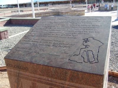
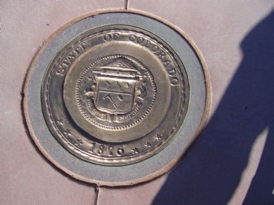
Colorado became a state in 1876. In 1878, U.S. Surveyor Rollin J. Reeves started from the Four Corners Monument and marked a line going north along the boundary of the State of Colorado and the Utah Territory, with a team of surveyors using a 66-foot-long chain and a transit/compass made of wood, glass and brass. The original marked line has been upheld in legal challenges over a more technically precise location.
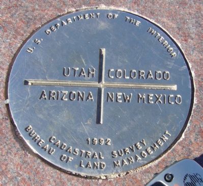
The Four Corners Monument, first set by Chandler Robbins in 1875, has been replaced and upgraded in 1899, 1931, 1962, 1992 and 2010.
Erected 2010 by National Society of Professional Surveyors.
Topics. This historical marker is listed in this topic list: Settlements & Settlers. A significant historical year for this entry is 1861.
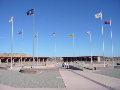
Location. 36° 59.95′ N, 109° 2.709′ W. Marker is near Cortez, Colorado, in Montezuma County. Marker can be reached from 4 Corners Road, half a mile west of U.S. 160. Marker is located at the Four Corners Monument. Touch for map. Marker is in this post office area: Cortez CO 81321, United States of America. Touch for directions.
Other nearby markers. At least 6 other markers are within 12 miles of this marker, measured as the crow flies. Utah (a few steps from this marker in Utah); Arizona (a few steps from this marker in Arizona); New Mexico (a few steps from this marker in New Mexico); Four Corners – A Common Bond (within shouting distance of this marker in New Mexico); Welcome to Four Corners Monument! (approx. ¼ mile away in New Mexico); Beclabito Dome (approx. 11.7 miles away in New Mexico).
Credits. This page was last revised on January 5, 2020. It was originally submitted on October 4, 2010, by Bill Kirchner of Tucson, Arizona. This page has been viewed 1,147 times since then and 16 times this year. Photos: 1, 2, 3, 4. submitted on October 4, 2010, by Bill Kirchner of Tucson, Arizona. 5. submitted on October 5, 2010, by Mike Stroud of Bluffton, South Carolina. • Syd Whittle was the editor who published this page.
