Marblehead in Essex County, Massachusetts — The American Northeast (New England)
Fort Sewall
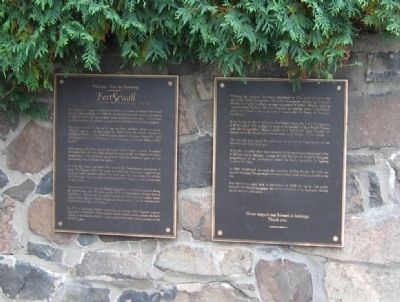
[ left panel ]
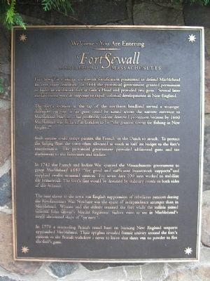
Fort Sewall
Marblehead Massachusetts
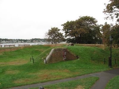
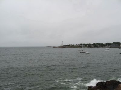
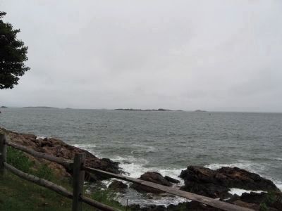
The fort's location at the tip of the northern headland served a strategic defensive purpose as its guns could be aimed across the narrow entrance to Marblehead Harbor, This profitable colony deserved protection because by 1660 Marblehead was declared in London to be "the greatest townie for fishing in New England".
Such success could tempt pirates, the French or the Dutch to attack. To protect the fishing fleet, the town often allocated as much as half its budget to the fort's maintenance. The provincial government provided additional guns and tax abatements to the fishermen and traders.
The next threat to the town was English suppression of rebellious patriots during the Revolutionary War. Nowhere was the spirit of independence stronger than in Marblehead. Women and the elderly manned the fort while the militia joined Colonel John Glover's Marine Regiment. Sailors went to sea in Marblehead's newly christened ships of "ye navy".
In 1776 a marauding British vessel bent on burning New England seaports approached Marblehead. Their spyglasses revealed frantic activity around the fort's cannon, so the British withdrew – never to know that there was no powder to fire the fort's guns.
[ right panel ]
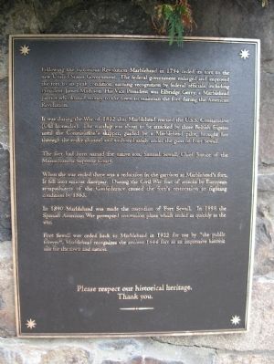
Following the victorious Revolution Marblehead in 1794 ceded its fort to the new United States Government. The federal government enlarged and improved the fort to its peak condition, earning recognition by federal officials, including President James Madison. His Vice President was Elbridge Gerry, a Marblehead patriot who loaned money to the town to maintain the fort during the American Revolution.
It was during the War of 1812 that Marblehead rescued the U.S.S. Constitution (Old Ironsides). The warship was about to be attacked by three British frigates until the Constitution's skipper, guided by a Marblehead pilot, brought her through the rocky channel and anchored safely under the guns of Fort Sewall.
The fort had been named for native son, Samuel Sewall, Chief Justice of the Massachusetts Supreme Court.
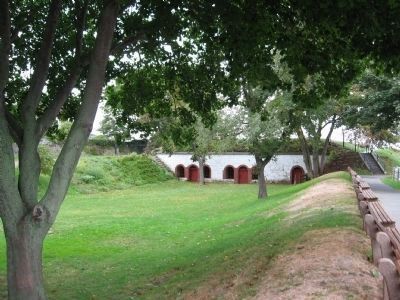
When the war ended there was a reduction in the garrison at Marblehead's fort. It fell into serious disrepair. During the Civil War fear of attacks by European sympathizers of the Confederacy caused the fort's restoration to fighting condition by 1863.
In 1890 Marblehead was made the custodian of Fort Sewall. In 1898 the Spanish American War prompted renovation plans which ended as quickly as the war.
Fort Sewall was ceded back to Marblehead in 1922 for use by "the public forever". Marblehead recognizes the ancient 1644 fort as an impressive historic site for the town and nation.
Thank you.
Topics and series. This historical marker is listed in these topic lists: Forts and Castles • War of 1812 • War, US Revolutionary. In addition, it is included in the Former U.S. Presidents: #04 James Madison series list. A significant historical year for this entry is 1644.
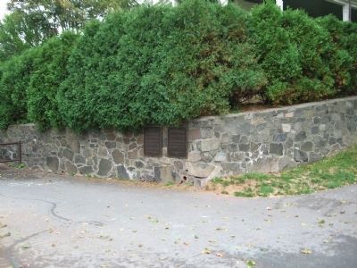
Location. 42° 30.499′ N, 70° 50.522′ W. Marker is in Marblehead, Massachusetts, in Essex County. Marker can be reached from the intersection of Front Street and Fort Sewall Terrace, on the right when traveling north. Located just past the entrance gate to Fort Sewall. Touch for map. Marker is in this post office area: Marblehead MA 01945, United States of America. Touch for directions.
Other nearby markers. At least 8 other markers are within walking distance of this marker. Fort Sewall Site Plan (a few steps from this marker); a different marker also named Fort Sewall (within shouting distance of this marker); Gen. Casimir Pulaski (within shouting distance of this marker); Huzzah! for "Old Ironsides" (within shouting distance of this marker); a different marker also named Fort Sewall (within shouting distance of this marker); Agnes Surriage Well (approx. 0.2 miles away); Bailey's Head (approx. ¼ mile away); Old Burial Hill (approx. ¼ mile away). Touch for a list and map of all markers in Marblehead.
Regarding Fort Sewall. Fort Sewall is listed on the National Register of Historic Places, April 14, 1975
Also see . . . Fort Sewall on Wikipedia. (Submitted on October 5, 2010, by Michael Herrick of Southbury, Connecticut.)
Credits. This page was last revised on June 16, 2016. It was originally submitted on October 5, 2010, by Michael Herrick of Southbury, Connecticut. This page has been viewed 1,294 times since then and 52 times this year. Photos: 1, 2, 3, 4, 5, 6, 7, 8. submitted on October 5, 2010, by Michael Herrick of Southbury, Connecticut.
