Marblehead in Essex County, Massachusetts — The American Northeast (New England)
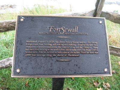
Fort Sewall
Marblehead Massachusetts
Topics. This historical marker is listed in these topic lists: Forts and Castles • Waterways & Vessels. A significant historical year for this entry is 1629.
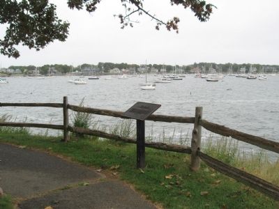
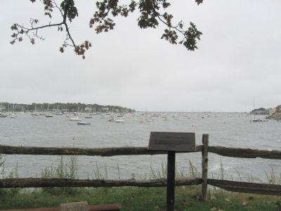
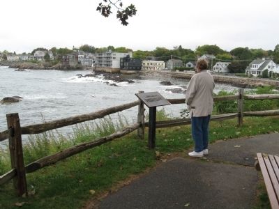
Location. 42° 30.483′ N, 70° 50.513′ W. Marker is in Marblehead, Massachusetts, in Essex County. Marker can be reached from the intersection of Front Street and Fort Sewall Terrace, on the right when traveling north. Located in Fort Sewall. Touch for map. Marker is in this post office area: Marblehead MA 01945, United States of America. Touch for directions.
Other nearby markers. At least 8 other markers are within walking distance of this marker. Gen. Casimir Pulaski (a few steps from this marker); Huzzah! for "Old Ironsides" (a few steps from this marker); Fort Sewall Site Plan (within shouting distance of this marker); a different marker also named Fort Sewall (within shouting distance of this marker); a different marker also named Fort Sewall (about 300 feet away, measured in a direct line); Agnes Surriage Well (approx. ¼ mile away); Bailey's Head (approx. ¼ mile away); Old Burial Hill (approx. ¼ mile away). Touch for a list and map of all markers in Marblehead.
Also see . . .
1. Fort Sewell. Essex National Heritage Area website entry (Submitted on April 18, 2022, by Larry Gertner of New York, New York.)
2. Sailing Club Profile: Pleon Yacht Club. Sail 1 Design website entry (Submitted on April 18, 2022, by Larry Gertner of New York, New York.)
Credits. This page was last revised on April 18, 2022. It was originally submitted on October 5, 2010, by Michael Herrick of Southbury, Connecticut. This page has been viewed 619 times since then and 18 times this year. Photos: 1, 2, 3, 4. submitted on October 5, 2010, by Michael Herrick of Southbury, Connecticut.


