Aiken in Aiken County, South Carolina — The American South (South Atlantic)
The S.C. Railroad
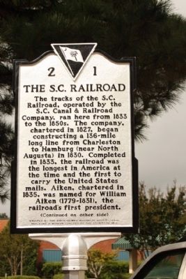
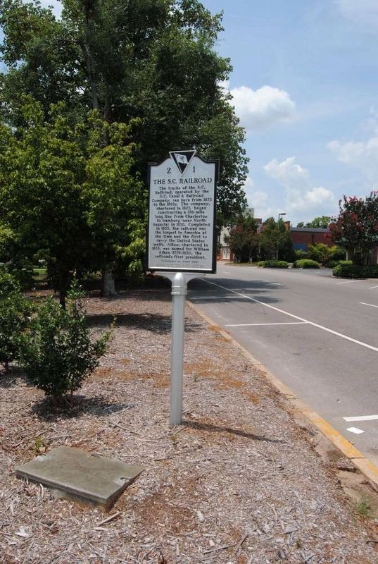
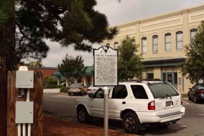
The tracks of the S.C. Railroad, operated by the S.C. Canal & Railroad Company, ran here from 1833 to the 1850s. The company, chartered in 1827, began constructing a 136-mile long line from Charleston to Hamburg (near North Augusta) in 1830. Completed in 1833, the railroad was the longest in America at the time and the first to carry the United States mails. Aiken, chartered in 1835, was named for William Aiken (1779-1831), the railroad’s first president.
(Reverse text):
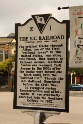
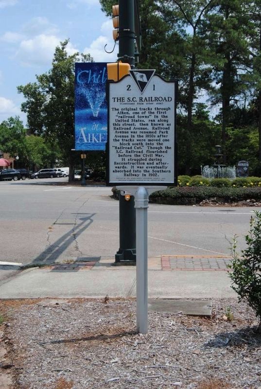
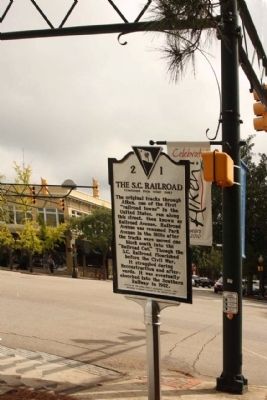
The original tracks through Aiken, one of the first “railroad towns” in the United States, ran along this street, then known as Railroad Avenue. Railroad Avenue was renamed Park Avenue in the 1850s after the tracks were moved one block south into the “Railroad Cut.” Though the S.C. Railroad flourished before the Civil War, it struggled during Reconstruction and afterwards. It was eventually absorbed into the Southern Railway in 1902.
Erected 2010 by The Aiken County Historical Society , replacing a marker erected by the society in 1962. (Marker Number 2-1.)
Topics. This historical marker is listed in these topic lists: Industry & Commerce • Railroads & Streetcars. A significant historical year for this entry is 1833.
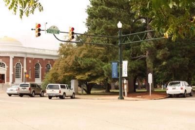
Location. 33° 33.587′ N, 81° 43.416′ W. Marker is in Aiken, South Carolina, in Aiken County. Marker is at the intersection of Laurens Street SW and Park Avenue, on the right when traveling south on Laurens Street SW. Touch for map. Marker is in this post office area: Aiken SC 29801, United States of America. Touch for directions.
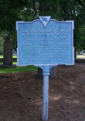
Other nearby markers. At least 10 other markers are within walking distance of this marker. Woodmen Of The World (here, next to this marker); South Carolina Canal & Rail Road Company (here, next to this marker); Fallout Shelter (within shouting distance of this marker); Fred B. Cavanaugh (about 300 feet away, measured in a direct line); Aiken (about 300 feet away); Plutonium-238 for Space Exploration (about 400 feet away); Dibble Memorial Library (about 400 feet away); Aiken's Jewish Merchants (about 500 feet away); Legare-Morgan House (about 600 feet away); 1953 Gas Explosion (about 600 feet away). Touch for a list and map of all markers in Aiken.
Regarding The S.C. Railroad. Replacement of the 1962 Marker
Also see . . .
1. South Carolina Canal and Rail Road Company. Southern Railway (now Norfolk Southern Railway) gained control of the line in 1899 and obtained a lease to the South Carolina and Georgia Railroad in 1902. The lease is still in effect. (Submitted on October 7, 2010, by Mike Stroud of Bluffton, South Carolina.)
2. William Aiken. William Aiken (1779–1831), or William Aiken, Sr., was the founder and president of the pioneering South Carolina Canal and Rail Road Company. (Submitted on January 6, 2011, by Brian Scott of Anderson, South Carolina.)
3. Hamburg, Aiken County, South Carolina. The dead town of Hamburg, South Carolina, was once a thriving upriver market located in Edgefield District (now Aiken County). (Submitted on January 6, 2011, by Brian Scott of Anderson, South Carolina.)
Credits. This page was last revised on March 28, 2017. It was originally submitted on October 7, 2010, by Mike Stroud of Bluffton, South Carolina. This page has been viewed 1,481 times since then and 39 times this year. Photos: 1, 2. submitted on October 7, 2010, by Mike Stroud of Bluffton, South Carolina. 3, 4. submitted on March 28, 2017, by Brian Scott of Anderson, South Carolina. 5, 6, 7, 8. submitted on October 7, 2010, by Mike Stroud of Bluffton, South Carolina.
