Mount Pleasant in Charleston County, South Carolina — The American South (South Atlantic)
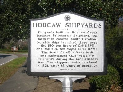
Hobcaw Shipyards
Erected 2002.
Topics. This historical marker is listed in these topic lists: Industry & Commerce • War, US Revolutionary. A significant historical year for this entry is 1831.
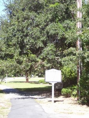
Location. 32° 48.982′ N, 79° 53.004′ W. Marker is in Mount Pleasant, South Carolina, in Charleston County. Marker is at the intersection of East Hobcaw Drive (State Highway 10-1515) and Hobcaw Drive (State Highway 10-503), on the right when traveling north on East Hobcaw Drive. Touch for map. Marker is in this post office area: Mount Pleasant SC 29464, United States of America. Touch for directions.
Other nearby markers. At least 8 other markers are within 2 miles of this marker, measured as the crow flies. Maybank Green / Hobcaw Plantation (approx. 0.2 miles away); Shipyard Road / Shelmore Boulevard (approx. ¼ mile away); Hobcaw Point Powder Magazine (approx. ¼ mile away); I'on Cemetery (approx. 0.3 miles away); Jacob Bond I'On (approx. 0.4 miles away); Scanlonville (approx. half a mile away); Greenhill Community / Greenhill Farming (approx. 0.9 miles away); One Hand Sanders / Prince's Ferry (approx. 1.2 miles away). Touch for a list and map of all markers in Mount Pleasant.
Credits. This page was last revised on May 22, 2020. It was originally submitted on October 7, 2010. This page has been viewed 750 times since then and 33 times this year. Photos: 1, 2. submitted on October 7, 2010. • Craig Swain was the editor who published this page.

