Hurley in Iron County, Wisconsin — The American Midwest (Great Lakes)
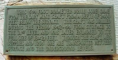
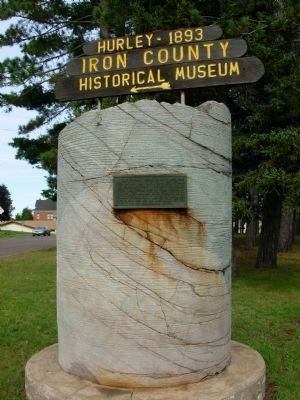
This 5 ˝ Foot Diameter Drill Core
Topics. This historical marker is listed in this topic list: Industry & Commerce.
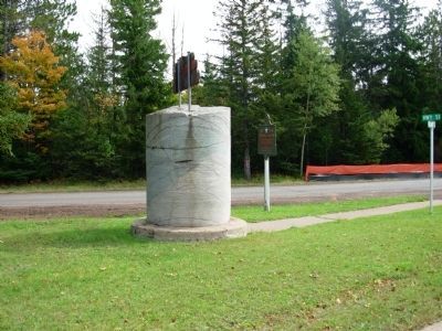
Location. 46° 26.765′ N, 90° 10.964′ W. Marker is in Hurley, Wisconsin, in Iron County. Marker is at the intersection of U.S. 51 and 3rd Avenue South on U.S. 51. Marker located in the triangle intersection. Touch for map. Marker is in this post office area: Hurley WI 54534, United States of America. Touch for directions.
Other nearby markers. At least 8 other markers are within 2 miles of this marker, measured as the crow flies. Penokee Iron Range Trail – Historic Iron County Courthouse (about 700 feet away, measured in a direct line); Italians on the Gogebic Iron Range (approx. 0.9 miles away in Michigan); Ironwood City Hall (approx. 0.9 miles away in Michigan); Miners Memorial Heritage Park (approx. one mile away in Michigan); Commemorating the Iron Ore Industry (approx. one mile away in Michigan); Hiawatha (approx. one mile away in Michigan); Curry House (approx. 1.2 miles away in Michigan); Iron Mining in Wisconsin (approx. 1.3 miles away). Touch for a list and map of all markers in Hurley.
Also see . . . Wisconsin Mines. Interesting historic photos of Wisconsin Mines. (Submitted on October 17, 2010, by Paul Fehrenbach of Germantown, Wisconsin.)
Credits. This page was last revised on June 16, 2016. It was originally submitted on October 11, 2010, by Paul Fehrenbach of Germantown, Wisconsin. This page has been viewed 1,070 times since then and 32 times this year. Photos: 1, 2, 3. submitted on October 11, 2010, by Paul Fehrenbach of Germantown, Wisconsin. • Bill Pfingsten was the editor who published this page.


