Harding in Morris County, New Jersey — The American Northeast (Mid-Atlantic)
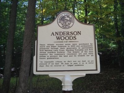
Anderson Woods
"As responsible citizens we don't own our land, we are stewards of our land. We hope to pass it on in better shape than we received it" Edgar Anderson
Erected by Harding Land Trust.
Topics. This historical marker is listed in this topic list: Horticulture & Forestry. A significant historical year for this entry is 1950.
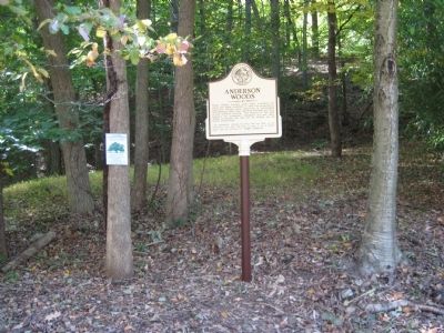
Location. 40° 45.294′ N, 74° 31.755′ W. Marker is in Harding, New Jersey, in Morris County. Marker is on Tempe Wick Road west of Mt. Kemble Avenue (U.S. 202), on the right when traveling east. Touch for map. Marker is in this post office area: Morristown NJ 07960, United States of America. Touch for directions.
Other nearby markers. At least 8 other markers are within walking distance of this marker. Jockey Hollow (approx. 0.2 miles away); Mt. Kemble-Glen Alpin (approx. 0.2 miles away); The Connecticut Line (approx. 0.7 miles away); Hand’s Brigade (approx. 0.8 miles away); Captain Adam Bettin (approx. 0.8 miles away); The Aqueduct Trail (approx. 0.9 miles away); The Second Maryland Brigade (approx. 0.9 miles away); Roads (approx. 0.9 miles away). Touch for a list and map of all markers in Harding.
Credits. This page was last revised on June 16, 2016. It was originally submitted on October 11, 2010, by Alan Edelson of Union Twsp., New Jersey. This page has been viewed 813 times since then and 20 times this year. Photos: 1, 2. submitted on October 11, 2010, by Alan Edelson of Union Twsp., New Jersey. • Syd Whittle was the editor who published this page.

