Near Whiteriver in Navajo County, Arizona — The American Mountains (Southwest)
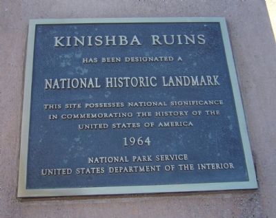
Kinishba Ruins
National Historic Landmark
This site possesses national significance
in commemorating the history of the
United States of America
1964
Erected 1964 by National Park Service, United States Department of the Interior.
Topics and series. This historical marker is listed in this topic list: Native Americans. In addition, it is included in the National Historic Landmarks series list. A significant historical year for this entry is 1964.
Location. 33° 48.896′ N, 110° 3.255′ W. Marker is near Whiteriver, Arizona, in Navajo County. Marker is at the ruins site. The site is 1.8 miles north of AZ Hwy 73 on West Kinishba Road. The parking lot is at 33.814617N, -110.053012W. Touch for map. Marker is in this post office area: Whiteriver AZ 85941, United States of America. Touch for directions.
Other nearby markers. At least 8 other markers are within 4 miles of this marker, measured as the crow flies. First Commanding Officer's Quarters (101) (approx. 4 miles away); Captain's Quarters (102 and 103) (approx. 4 miles away); Barracks Row (approx. 4 miles away); Commanding Officers' Quarters (104) (approx. 4.1 miles away); Parade Ground (approx. 4.1 miles away); Girls' Dormitory (120) (approx. 4.1 miles away); B.I.A. Club House (105) (approx. 4.1 miles away); Officer's Quarters (106) (approx. 4.1 miles away).
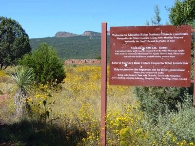
More about this marker. Visitors must obtain a permit from the White Mountain Apache Tribe at the Cultural Center at Fort Apache Historic Park, 0.7 miles east of AZ-73 on Fort Apache Road.
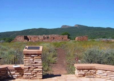
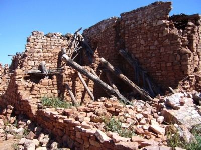
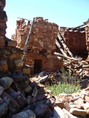
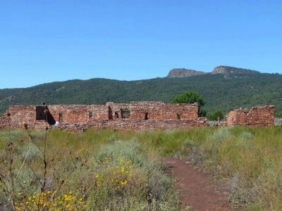
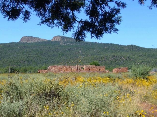
Regarding Kinishba Ruins. Located approximately four miles west of Fort Apache , the Kinishba Ruins National Historic Landmark is a satellite resource of the Fort Apache Historic Park . Occupied by Zuni and Hopi ancestors until about 1400AD, the village was excavated and partly reconstructed in the 1930s by archaeologist Byron Cummings. In 1993 the site was placed on Congress’s “Priority 1” list of threatened National Historic Landmarks. Stabilization work supported by grants from the Arizona Heritage Fund (administered by Arizona State Parks) and the “Save America’s Treasures” program (administered by the National Park Service) has allowed the Tribe to preserve this important site. Visitors to Kinishba Ruins must check in at the museum at Fort Apache , where interpretive guides are available. Admission to the museum and historic park includes access to the ruins.
Credits. This page was last revised on June 16, 2016. It was originally submitted on October 11, 2010, by Bill Kirchner of Tucson, Arizona. This page has been viewed 1,592 times since then and 69 times this year. Photos: 1, 2, 3, 4, 5, 6, 7. submitted on October 11, 2010, by Bill Kirchner of Tucson, Arizona. 8. submitted on October 12, 2010, by Bill Kirchner of Tucson, Arizona. 9. submitted on October 11, 2010, by Bill Kirchner of Tucson, Arizona. • Syd Whittle was the editor who published this page.
