Brookeville in Montgomery County, Maryland — The American Northeast (Mid-Atlantic)
Newlin’s Mill
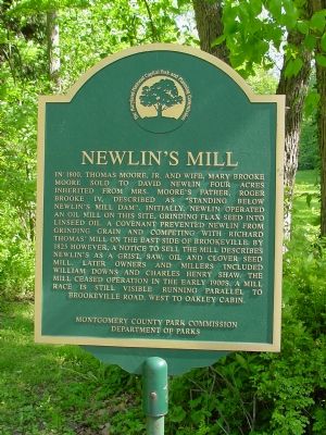
Photographed by J. J. Prats, May 20, 2006
1. Newlin's Mill Marker
Erected by Montgomery County Park Commission, Department of Parks.
Topics and series. This historical marker is listed in this topic list: Industry & Commerce. In addition, it is included in the Maryland, Montgomery Parks series list. A significant historical year for this entry is 1800.
Location. 39° 10.854′ N, 77° 3.694′ W.
this page online

Regionally, this marker is in the Washington Metropolitan Area. It is also in the American Mid-Atlantic. Globally, it is in North America, the Western Hemisphere, the Western World, and the Anglosphere. Historically, it finds itself in what was once one of the original Thirteen Colonies and also the Antebellum South.
Other nearby markers. At least 5 other markers are within walking distance of this marker: Valley Mill House (about 300 feet away, measured in a direct line); The Moore Cottage (about 400 feet away); Murphy House (about 600 feet away); Margaret Brooke House (about 700 feet away); Brookeville (approx. 0.2 miles away). Touch for a list and map of all markers in Brookeville.
Another
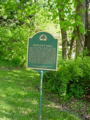
Photographed by J. J. Prats, May 20, 2006
2. Newlin's Mill Marker

3. Newlin's Mill
Close up of photograph reproduced on the Newlin's Mill Millstone marker on the lawn of the Brookeville Academy Community Center (which see).
Credits. This page was last revised on September 22, 2019. It was originally submitted on May 20, 2006, by J. J. Prats of Powell, Ohio. This page has been viewed 2,531 times since then and 51 times this year. Photos: 1, 2. submitted on May 20, 2006, by J. J. Prats of Powell, Ohio. 3. submitted on May 20, 2006.
