High Bridge in Hunterdon County, New Jersey — The American Northeast (Mid-Atlantic)
High Bridge and the Railroad
The High Bridge Branch of the Central Jersey Railroad of New Jersey
— Taylor Steelworkers Historical Greenway —
Inscription.
Columbia Trail – A 7-mile Hunterdon County Greenway, from the Borough of High Bridge, north to the Morris County line.
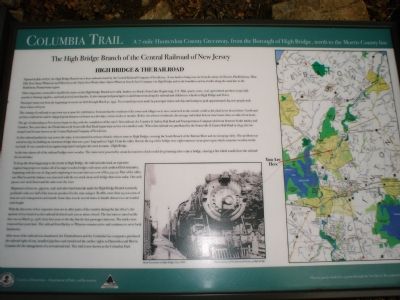
Opened in July of 1876, the High Bridge Branch was a busy railroad owned by the Central Railroad Company of New Jersey. It was built to bring iron ore from the mines in Chester, Hacklebarney, Mine Hill, Port Oram (Wharton) and Hibernia to the Taylor Iron Works (later Taylor-Wharton Iron & Steel Company) in High Bridge and to the foundries and steel mills along the main line to the Bethlehem, Pennsylvania region.
Other important commodities handled by trains on the High Bridge Branch were milk, lumber, ice blocks (from Lake Hopatcong), U.W. Mail, quarry stone, coal, agricultural products (especially peaches), blasting supplies, sand and general merchandise. It also transported passengers to and from towns along the railroad and children to schools in High Bridge and Dover.
Passenger trains ran from the beginning of service in 1876 through March 31, 1932. Two round trips were made by passenger trains each day and ruing its peak approximately 89,000 people rode these trains each year.
The coming of a railroad to any town was a cause for celebration. It meant that the residents of the towns and villages were now connected to the outside world as they had never been before. Goods and services could arrive and be shipped great distances in hours or a few days, versus weeks or months. Before the advent of railroads, the average individual did not travel more than 20 miles from home.
The age of railroading in New Jersey began in 1834 with the completion of the state’s first railroad, the Camden and Amboy Rail Road and Transportation Company which rand between South Amboy and Camden. Two years later, the Elizabethtown & Somerville Rail Road began train service on a modest scale. When that railroad was purchase by the Somerville & Easton Rail Road in 1849, the two merged and became known as the Central Railroad Company of New Jersey.
As this railroad pushed its way across the state, it encountered a serious obstacle when it came to High Bridge; crossing the South Branch of the Raritan River and its sweeping valley. The problem was solved in 1852 by building an enormous bridge that was 1,300’ long and 100’ high. From the valley floor to the top of the bridge were eight immense stone piers upon which a massive wooden trestle was built. It was considered an engineering marvel and gave the town its name…High Bridge.
At the time almost all of the railroad bridges were wooden. The trains were powered by steam locomotives which would drop burning ashes onto a bridge, causing a fire which would close the railroad for several days.
To
keep this from happening to the trestle in High Bridge, the railroad undertook an expensive engineering project to replace all of its major wooden bridges with stone arch earthen-filled structures, beginning with this one in 1859 and completing it six years later at a cost of $72, 252.50. Part of the valley was filled in and the balance was traversed with the two track stone arch bridge that exists today. One arch passes over Arch Street and the other over the river.
Shipments of iron ore, pig iron, coal, and other hard minerals made the High Bridge Branch extremely profitable with over half of the iron ore produced in the state using it. By 1881, more than 25,000 tons of iron ore were transported each month. Some days it took several trains to handle almost 120 cars loaded with freight.
With the discovery of less expensive iron ore in other parts of the country during the late 1800’s, the amount of iron hauled on this railroad declined each year as mines close. The last train to travel on the line was on March 31, 1976, forty four years to the day that the last passenger train ran. The tracks were removed four years later. The railroad from Bartley to Wharton remains active and continues to serve local businesses.
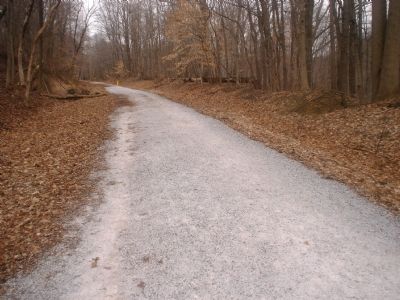
After most of the railroad was abandoned, the Elizabethtown and the Columbia Gas companies purchased the railroad right-of-way, installed pipelines and transferred the surface rights to Hunterdon and Morris Counties for the management of a recreational trail. This trail is now known as the Columbia Trail.
Erected 2006 by County of Hunterdon – Department of Parks and Recreation.
Topics. This historical marker is listed in this topic list: Railroads & Streetcars. A significant historical date for this entry is March 31, 1742.
Location. 40° 40.169′ N, 74° 53.768′ W. Marker is in High Bridge, New Jersey, in Hunterdon County. Marker is on Main Street (New Jersey Route 513). Adjoining the Borough Commons. Touch for map. Marker is at or near this postal address: 71 Main Street, High Bridge NJ 08829, United States of America. Touch for directions.
Other nearby markers. At least 8 other markers are within walking distance of this marker. St. Joseph Parish (about 300 feet away, measured in a direct line); The American Hotel (about 600 feet away); Old Iron Mines (approx. 0.2 miles away); C.K. Hoffman Veterans Memorial Park (approx. 0.2 miles away); T.I.S.C.O. Complex (approx. 0.2 miles away); Taylor Wharton Iron and Steel Company (approx. ¼ mile away); Taylor Iron and Steel Company (approx. 0.3 miles away); Railroad Bridge and Arches (approx. 0.3 miles away). Touch for a list and map of all markers in High Bridge.
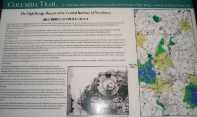
More about this marker. In the center of the marker is a picture of a locomotive. The caption reads,
"Steam Locomotive in High Bridge, Circa 1900."
Regarding High Bridge and the Railroad. The Old Railroad Line is now the Columbia Trail, a seven mile long, beautiful recreational trail utilized by outdoor enthusiasts. This trail adjoins the Taylor Steelworkers Historical Greenway, a 6.2 mile recreational trail, established by the Union Forge Heritage Association in 2007, which connects most of the former Taylor Wharton properties. The trail offers some breathtaking scenery for the hiker. It was created as a lasting legacy to the men and women who worked at the foundry.
Also see . . . The Columbia Trail. New Jersey Skylands website entry (Submitted on November 25, 2021, by Larry Gertner of New York, New York.)
Additional commentary.
1. Taylor SteelWorkers Historical Greenway: Directions and Description
Taylor SteelWorkers Historical Greenway
Created by: Union Forge Heritage Association 2007
High Bridge,NJ
Directions are from: Voorhees State Park County Road 513 Glen Gardner, NJ.
DIRECTIONS: Exit park by turning Right onto CR 513 South and after 2.0 miles turn Right onto Church Street following signs for CR 513 South. Turn Left onto CR 513/Main Street and take immediate Right turn into
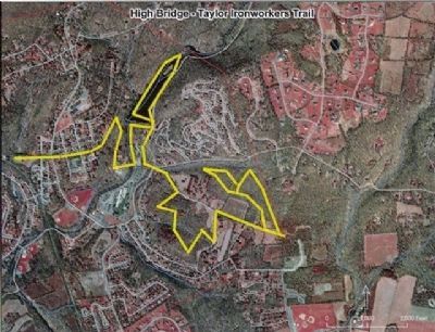
Photographed By William Honachefsky Jr
5. Taylor SteelWorkers Historical Greenway
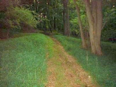
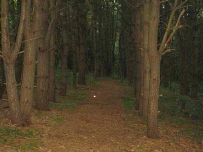
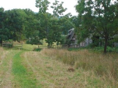
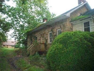
This 6.5 mile trail intertwines itself through much of High Bridge's historical properties including T.I.S.CO, Lake Solitude and Dam, Solitude House, Springside Farm, Union Forge and Nassau. Abundant wildlife of all variety. An outdoor enthusiasts dream!
ACCESS AND PARKING: Open daily from dawn to dusk. There is good parking at the High Bridge Municipal Parking Lot at the southern end of trail. There is no parking at junctions of trail with area roads. Created by Union Forge Heritage Association in 2007, the Taylor Steelworkers Historical Greenway can be accessed approximately 1/4 mile from the start of the Columbia Trail. The trail can also be accessed from Solitude House Museum (circa 1717), the historical Taylor Ironworker and Steel Company Complex, the oldest standing example of ironworks administrative structure (TISCO)(circa 1742) and Springside Farm (circa 1803). During inclement weather the trails may not be accessible. No motorized vehicles of any kind. Parking is available at the TISCO Complex, Solitude House Museum and Springside Farm.
SITE DESCRIPTION: The seven-mile Columbia trail is formed from the roadbed of the old High Bridge Railroad, which for almost 100 years carried iron ore from the mines of Morris County to local forges; it ceased operation in 1976. The Columbia Trail parallels the South Branch of the Raritan River, passes above Ken Lockwood Gorge and continues through mostly-upland deciduous forests north to the Morris County line. Designated as part of the Highlands
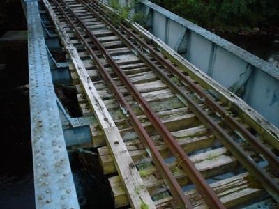
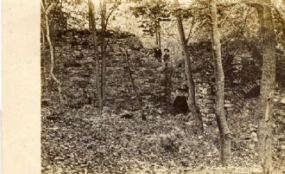
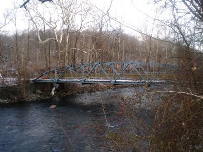
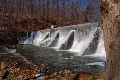
Trail (HT), it is now theoretically possible to hike north from High Bridge on the Columbia Trail, connect via the HT to the Appalachian Trail (AT) in North Jersey and hike north to the trail's terminus on Mt. Katahdin in northern Maine, or for that matter, south to the AT's southern end at Springer Mountain in Georgia. The Taylor SteelWorkers Historical Greenway is a 6.2 mile trail that winds its way through High Bridge criss-crossing a number of historical sites and beautiful scenery. This is the perfect trail for wildlife watchers and history buffs alike. Follow the Columbia Trail for approximately 1/4 mile looking on the Right for the trailhead gate that includes a sign and entrance for the famous Lake Solitude Dam. Heading in a southeasterly direction from the Columbia Trail, this trail proceeds to the historic structures of the TISCO Complex and then onto a 100 year old truss bridge. This bridge is impassable at the moment but is due to be refurbished the summer of 2008. After crossing the bridge, the trail proceeds north along the South Branch of the Raritan towards the Lake Solitude and Lake Solitude Dam (circa 1858), Solitude House Museum and the Union Iron Works ruins (circa 1742). From there the trail continues on to the entrance of the Nassau Trail, works its way to Springside Farm (Springside Lane, High Bridge) and its adjoining woods and proceeds from there to its
end at Lord Amesbury's Furnace, circa 1752 , located in Clinton Township. For more information about this trail contact Union Forge Heritage Association at 908-638-3200
WILDLIFE: Bald Eagles are a familiar sight in the region. They often are easier to spot in winter when trees are bare of leaves. Check the trees along the trails; seasonal sightings include Brown Creeper, Eastern Phoebe, Ruby- and Golden-crowned Kinglets, Blue-gray Gnatcatcher, Palm, Pine and Yellow-rumped Warblers and Yellow-throated Vireo. Look a little deeper into the woods for Hermit and Wood Thrushes, Veery, Ovenbird and Red-eyed and Blue-headed Vireos and Pileated Woodpecker.
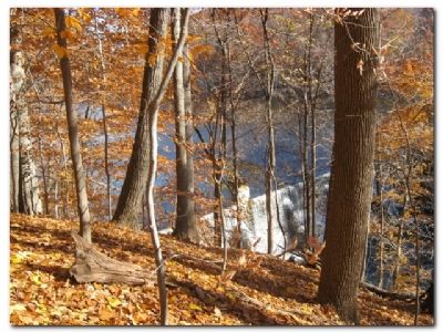
DON'T MISS: Several miles north of High Bridge, the Columbia Trail passes over Ken Lockwood Gorge Bridge, built 80 feet above the gorge floor. This steel span was built in 1930 to replace the original wooden trestle bridge, which was the site of a memorable 1886 train wreck.
SITE ICONS: Bike Trails Butterflies/Dragonflies Handicap Accessible Hiking Trails Ideal for beginning birders Parking Picnic Restrooms Wildflowers
— Submitted July 26, 2008, by William Honachefsky Jr of High Bridge/Clinton Twp, New Jersey.
Additional keywords. Union Forge Heritage
Association
Credits. This page was last revised on November 25, 2021. It was originally submitted on January 22, 2008, by William Honachefsky Jr of High Bridge/Clinton Twp, New Jersey. This page has been viewed 6,903 times since then and 75 times this year. Last updated on October 17, 2010, by William Honachefsky Jr of High Bridge/Clinton Twp, New Jersey. Photos: 1, 2. submitted on January 22, 2008, by William Honachefsky Jr of High Bridge/Clinton Twp, New Jersey. 3. submitted on January 27, 2008, by William Honachefsky Jr of High Bridge/Clinton Twp, New Jersey. 4. submitted on January 22, 2008, by William Honachefsky Jr of High Bridge/Clinton Twp, New Jersey. 5. submitted on June 26, 2008, by William Honachefsky Jr of High Bridge/Clinton Twp, New Jersey. 6, 7, 8, 9, 10, 11, 12. submitted on July 28, 2008, by William Honachefsky Jr of High Bridge/Clinton Twp, New Jersey. 13. submitted on August 8, 2008, by William Honachefsky Jr of High Bridge/Clinton Twp, New Jersey. 14. submitted on November 24, 2008, by William Honachefsky Jr of High Bridge/Clinton Twp, New Jersey. 15. submitted on February 10, 2008, by William Honachefsky Jr of High Bridge/Clinton Twp, New Jersey. 16. submitted on May 29, 2010, by Terese Hatch of Bridgewater, New Jersey. • J. J. Prats was the editor who published this page.
