Johns Island in Charleston County, South Carolina — The American South (South Atlantic)
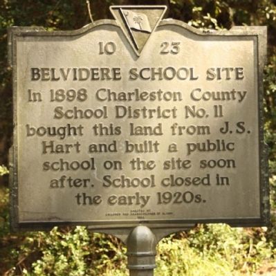
Belvidere School Site
Erected 1994 by Children and Grandchildren of Alumni. (Marker Number 10-23.)
Topics. This historical marker is listed in this topic list: Education. A significant historical year for this entry is 1898.
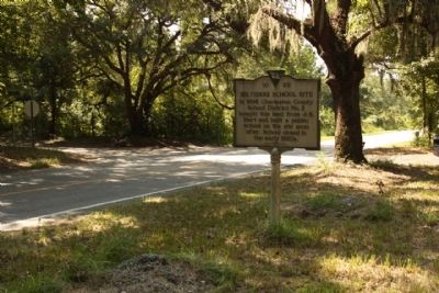
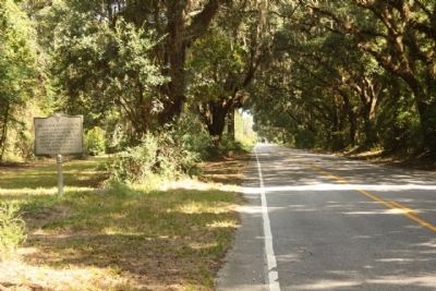
Location. 32° 46.086′ N, 80° 7.08′ W. Marker is on Johns Island, South Carolina, in Charleston County. Marker is at the intersection of Chisolm Road (State Highway 10-54) and Belvedere Road (State Highway 10-1493), on the right when traveling south on Chisolm Road. Touch for map. Marker is in this post office area: Johns Island SC 29455, United States of America. Touch for directions.
Other nearby markers. At least 8 other markers are within 7 miles of this marker, measured as the crow flies. The Stono Rebellion (approx. 2.1 miles away); Grave Of Colonel William A. Washington (approx. 2.2 miles away); St. Paul's, Stono / St. Paul's Churchyard (approx. 4 miles away); Plainsfield Plantation (approx. 5.1 miles away); South Carolina Canal & Rail Road Company (approx. 5.4 miles away); John's Island Presbyterian Church (approx. 6.1 miles away); St. Andrew’s Parish Church (approx. 6.3 miles away); Skirmish at St. Andrew’s Parish Church (approx. 6.3 miles away). Touch for a list and map of all markers in Johns Island.
Also see . . . John's Island By Connie Walpole Haynie, Page 30. Belvidere School Site, John's Island (Submitted on October 18, 2010, by Mike Stroud of Bluffton, South Carolina.)
Credits. This page was last revised on June 16, 2016. It was originally submitted on October 18, 2010, by Mike Stroud of Bluffton, South Carolina. This page has been viewed 1,829 times since then and 64 times this year. Photos: 1, 2, 3. submitted on October 18, 2010, by Mike Stroud of Bluffton, South Carolina.


