Roseville in Placer County, California — The American West (Pacific Coastal)
Roseville Veterans Memorial
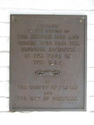
to the memory of
the service men and
women who paid the
supreme sacrifice
in the wars of
The U.S.A.
Erected by Placer County and the City of Roseville.
Topics. This historical marker and memorial is listed in this topic list: Military.
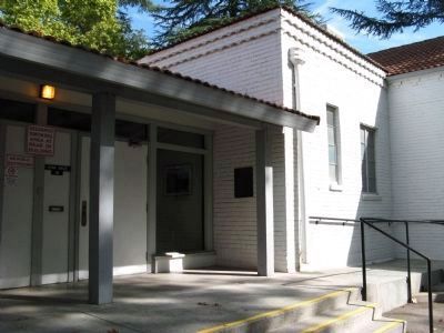
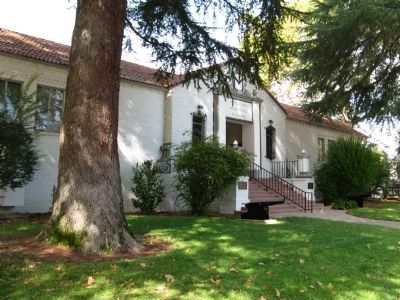
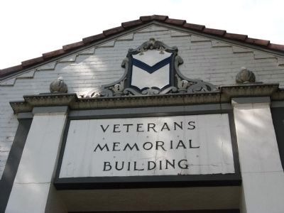
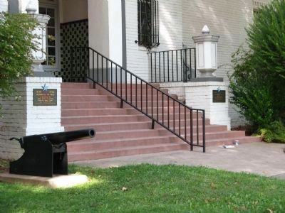
Location. 38° 44.864′ N, 121° 16.925′ W. Marker is in Roseville, California, in Placer County. Marker can be reached from Park Drive, on the right when traveling west. Marker is mounted at the side entrance of the Memorial Hall. Touch for map. Marker is at or near this postal address: 110 Park Drive, Roseville CA 95678, United States of America. Touch for directions.
Other nearby markers. At least 8 other markers are within walking distance of this marker. Roseville V.F.W. Post 1661 Veterans Memorial (within shouting distance of this marker); Reuben F. Nelson Footbridge (within shouting distance of this marker); Masonic Hall and Roseville Theater Building (about 700 feet away, measured in a direct line); Farlow Building (about 800 feet away); Railroad Hobbies Building (approx. 0.2 miles away); Eagles Hall (approx. 0.2 miles away); The West House (approx. 0.2 miles away); Garbolino Building (approx. 0.2 miles away). Touch for a list and map of all markers in Roseville.
Additional keywords. Veterans Memorials
Credits. This page was last revised on June 16, 2016. It was originally submitted on October 21, 2010, by Syd Whittle of Mesa, Arizona. This page has been viewed 783 times since then and 15 times this year. Photos: 1, 2, 3, 4, 5, 6, 7. submitted on October 21, 2010, by Syd Whittle of Mesa, Arizona.
