Kenton in Gibson County, Tennessee — The American South (East South Central)
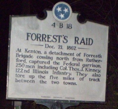
Forrest's Raid
Dec. 21, 1862
Erected by Tennessee Historical Commission. (Marker Number 4B 18.)
Topics and series. This historical marker is listed in this topic list: War, US Civil. In addition, it is included in the Tennessee Historical Commission series list.
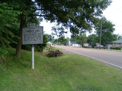
Location. 36° 12.126′ N, 89° 0.721′ W. Marker is in Kenton, Tennessee, in Gibson County. Marker is at the intersection of South Poplar Street (U.S. 45W) and West Church Street, on the right when traveling south on South Poplar Street. Touch for map. Marker is in this post office area: Kenton TN 38233, United States of America. Touch for directions.
Other nearby markers. At least 8 other markers are within 13 miles of this marker, measured as the crow flies. David Crockett's Last Home (approx. 5.2 miles away); Rebecca Hawkins Crockett (approx. 5˝ miles away); Banks P. Turner (approx. 9.4 miles away); Parks Cemetery Ridge Memorial Plaza (approx. 10.7 miles away); a different marker also named Forrest's Raid (approx. 11.2 miles away); C.S.A. Camp Trenton (approx. 12.4 miles away); Troy (approx. 12.7 miles away); The University of Tennessee at Martin (approx. 12.9 miles away).
Credits. This page was last revised on June 16, 2016. It was originally submitted on October 5, 2010, by Russ Keltner of Milan, Tennessee. This page has been viewed 1,048 times since then and 44 times this year. Last updated on October 24, 2010, by L. David Barnette of Trenton, Tennessee. Photos: 1. submitted on October 5, 2010, by Russ Keltner of Milan, Tennessee. 2. submitted on October 12, 2010, by Nick Kurtz of Littleton, Colorado. • Craig Swain was the editor who published this page.

