Springfield in Fairfax County, Virginia — The American South (Mid-Atlantic)
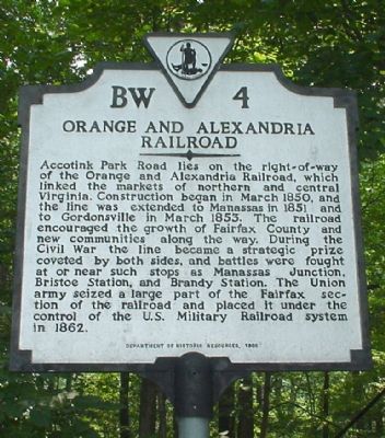
Orange and Alexandria Railroad
Erected 1995 by Department of Historic Resources. (Marker Number BW-4.)
Topics and series. This historical marker is listed in these topic lists: Railroads & Streetcars • War, US Civil. In addition, it is included in the Orange and Alexandria Railroad, and the Virginia Department of Historic Resources (DHR) series lists. A significant historical month for this entry is March 1850.
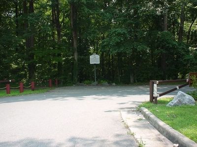
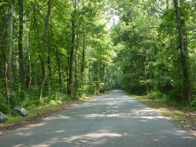
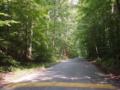
Location. 38° 47.508′ N, 77° 12.354′ W. Marker is in Springfield, Virginia, in Fairfax County. Marker is at the intersection of Accotink Park Road and Southern Drive on Accotink Park Road. From Backlick Road (County Route 617), take Highland Street west to Accotink Park Road on the right. Accotink Park Road jogs to the left (follow the signs to the park) while Southern Drive continues straight ahead. The marker is at the jog. Touch for map. Marker is at or near this postal address: 7500 Accotink Park Rd, Springfield VA 22151, United States of America. Touch for directions.
Other nearby markers. At least 8 other markers are within 3 miles of this marker, measured as the crow flies. The Civilian Conservation Corps (approx. 0.4 miles away); Connecting Communities and Parks (approx. 0.6 miles away); a different marker also named Orange and Alexandria Railroad (approx. 0.7 miles away); Springfield Station (approx. 1.2 miles away); Ravensworth (approx. 1˝ miles away); a different marker also named Ravensworth (approx. 1˝ miles away); Price’s Ordinary (approx. 1.8 miles away); Keene’s Mill (approx. 2.6 miles away). Touch for a list and map of all markers in Springfield.
Credits. This page was last revised on January 27, 2022. It was originally submitted on December 4, 2005. This page has been viewed 3,551 times since then and 64 times this year. Last updated on November 3, 2010. Photos: 1, 2, 3. submitted on December 4, 2005. 4. submitted on December 18, 2005. • Craig Swain was the editor who published this page.


