Stadium Area in Baltimore, Maryland — The American Northeast (Mid-Atlantic)
Baltimore Riot Trail
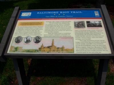
Last Shots at Camden Station
— Baltimore – A House Divided —
Inscription.
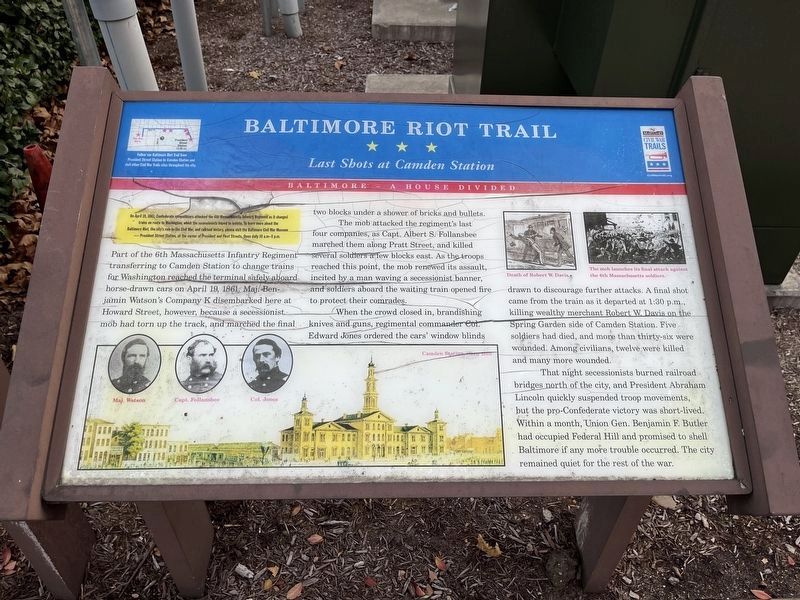
On April 19, 1861, Confederate sympathizers attacked the 6th Massachusetts Infantry Regiment as it changed trains en route to Washington, which the secessionists hoped to isolate. To learn more about the Baltimore Riot, the city’s role in the Civil War, and railroad history, please visit the Baltimore Civil War Museum—President Street Station, at the corner of President and Fleet Streets. Open daily 10 a.m.–5 p.m.
Part of the 6th Massachusetts Infantry Regiment transferring to Camden Station to change trains from Washington reached the terminal safely aboard horse-drawn cars on April 19, 1861. Maj. Benjamin Watson’s Company K disembarked here at Howard Street, however, because a secessionist mob had torn up the track, and marched the final two blocks under a shower of bricks and bullets.
The mob attacked the regiment's last four companies, as Capt. Albert S. Follansbee marched them along Pratt Street, and killed several soldiers a few blocks east. As the troops reached this point, the mob renewed its assault, incited by a man waving a secessionist banner, and soldiers aboard the waiting train opened fire to protect their comrades.
When the crowd closed in, brandishing knives and guns, regimental commander Col. Edward Jones ordered the cars’ window blinds drawn to discourage further attacks. A final shot came from the train as it departed at 1:30 p.m., killing wealthy merchant Robert W. Davis on the Spring Garden side of Camden Station. Five soldiers died, and more than thirty-six were wounded. Among civilians, twelve were killed and many more wounded.
That night secessionists burned railroad bridges north of the city, and President Abraham Lincoln quickly suspended troop movements, but the pro-Confederate victory was short-lived. Within a month, Union Gen. Benjamin F. Butler had occupied Federal Hill and promised to shell Baltimore if any more trouble occurred. The city remained quiet for the rest of the war.
Erected by Maryland Civil War Trails.
Topics and series. This historical marker is listed in these topic lists: Railroads & Streetcars • War, US Civil. In addition, it is included in the Baltimore and Ohio Railroad (B&O), and the Maryland Civil War Trails series lists. A significant historical month for this entry is April 1976.
Location. 39° 17.094′ N, 76° 37.182′ W. Marker has been reported damaged. Marker is in Baltimore, Maryland. It is in the Stadium Area. Marker can be reached from South Howard Street near West Camden Street. Marker is on the grounds of historic Camden Street Station, now a museum. Touch for map. Marker is in this post office area: Baltimore MD 21201, United States of America. Touch for directions.
Other nearby markers. At least 8 other
Photographed By Tom Fuchs, November 6, 2006
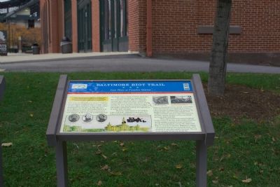
2. Last Shots at Camden Station Marker
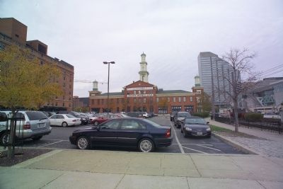
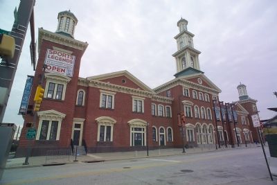
Photographer is at the edge of Howard Street looking towards the Camden Street Station building, visible in this photograph. Station platforms with trains would have been visible from Howard Street to the left, just out of frame.
Regarding Baltimore Riot Trail. Soldiers had arrived at the Philadelphia, Wilmington and Baltimore Railroad’s (PW&B) President Street Station east of this point. The railroad cars they were riding had to be individually pulled by horses down the Pratt Street tracks connecting President Street Station with Camden Street Station so they could continue their trip to Washington via the Baltimore and Ohio Railroad due to a city ordinance banning steam locomotives on city streets. That track turned south on Howard street past the station and into the B&O's rail yards south of the station and its passenger platforms. The mob had torn up the track on Howard Street south of this point.
Related markers. Click here for a list of markers that are related to this marker. Take a tour of the Baltimore Riot Trail.
Photographed By Devry Becker Jones (CC0), December 10, 2022
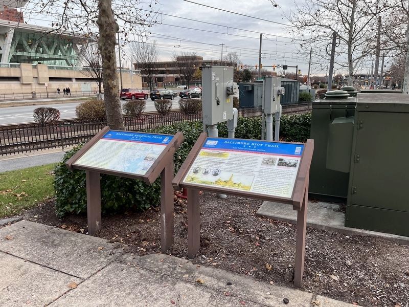
3. Baltimore Riot Trail Marker
The marker has weathered significantly.
Also see . . . Baltimore riot of 1861. Wikipedia entry (Submitted on February 14, 2022, by Larry Gertner of New York, New York.)
Credits. This page was last revised on December 11, 2022. It was originally submitted on November 24, 2006, by Tom Fuchs of Greenbelt, Maryland. This page has been viewed 5,353 times since then and 71 times this year. Last updated on November 4, 2010, by Timothy Carr of Birmingham, Alabama. Photos: 1. submitted on March 14, 2008, by Bill Coughlin of Woodland Park, New Jersey. 2. submitted on November 24, 2006, by Tom Fuchs of Greenbelt, Maryland. 3, 4. submitted on December 11, 2022, by Devry Becker Jones of Washington, District of Columbia. 5. submitted on November 24, 2006, by Tom Fuchs of Greenbelt, Maryland. 6. submitted on November 22, 2006, by Tom Fuchs of Greenbelt, Maryland. • Craig Swain was the editor who published this page.
