Selma in Dallas County, Alabama — The American South (East South Central)
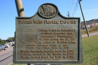
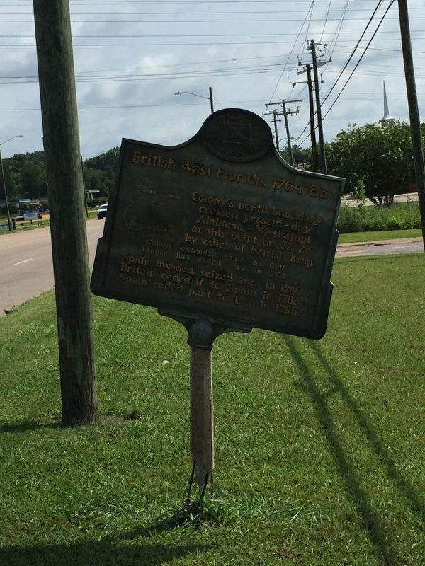
British West Florida, 1764-83
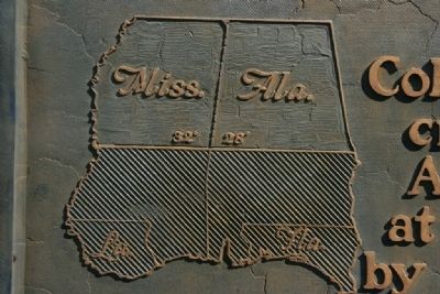
Colony’s north boundary crossed present-day Alabama - Mississippi at this point on 32° 28’ by edict of British king.
Colony extended south to Gulf.
France had ceded area in 1763.
Spain invaded, seized area in 1780.
Britain ceded it to Spain in 1783.
Spain ceded part to U.S. in 1795.
Erected 1954 by Alabama Historical Association.
Topics and series. This historical marker is listed in this topic list: Colonial Era. In addition, it is included in the Alabama Historical Association series list. A significant historical year for this entry is 1763.
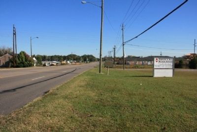
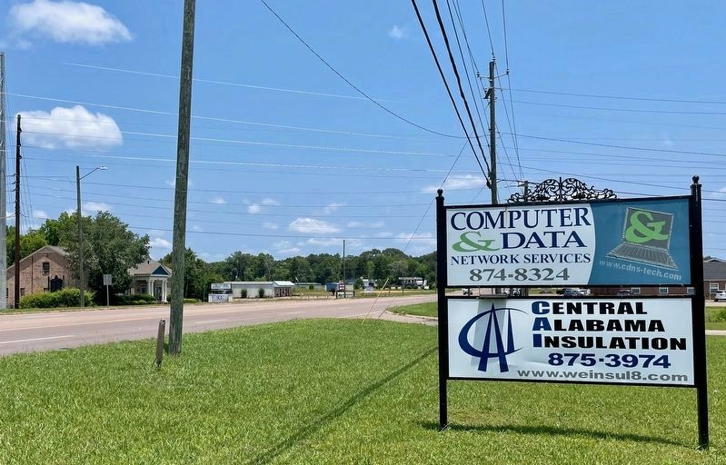
Location. Marker is missing. It was located near 32° 26.772′ N, 87° 0.983′ W. Marker was in Selma, Alabama, in Dallas County. Marker was on Citizens Parkway (Alabama Route 22) 0.2 miles north of Singleton Drive, on the right when traveling north. Touch for map. Marker was at or near this postal address: 2940 Citizens Pkwy, Selma AL 36701, United States of America. Touch for directions.
Other nearby markers. At least 8 other markers are within 3 miles of this location, measured as the crow flies. Valley Creek Presbyterian Church (approx. 0.3 miles away); Chalmers Attacks (approx. 1.1 miles away); Defense of Selma Memorial (approx. 1.3 miles away); Redoubt No. 15 (approx. 1.6 miles away); R.B. Hudson High School (approx. 1.9 miles away); Tabernacle Baptist Church (approx. 1.9 miles away); a different marker also named Tabernacle Baptist Church (approx. 1.9 miles away); A Grassroots Movement (approx. 2.2 miles away). Touch for a list and map of all markers in Selma.
Also see . . . Dominion of British West Florida. (Submitted on November 8, 2010, by Bill Pfingsten of Bel Air, Maryland.)
Credits. This page was last revised on May 28, 2023. It was originally submitted on November 7, 2010, by Timothy Carr of Birmingham, Alabama. This page has been viewed 1,196 times since then and 32 times this year. Photos: 1, 2. submitted on November 7, 2010, by Timothy Carr of Birmingham, Alabama. 3. submitted on July 22, 2018, by Jon Pridgen of Prattville, Alabama. 4. submitted on November 7, 2010, by Timothy Carr of Birmingham, Alabama. 5. submitted on May 28, 2023, by Mark Hilton of Montgomery, Alabama. • Bill Pfingsten was the editor who published this page.
