Selma in Dallas County, Alabama — The American South (East South Central)
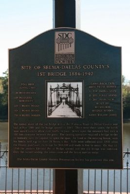
Site of Selma-Dallas County’s 1st Bridge 1884-1940
Inscription.
(Until 1900)
5˘ Pedestrians
10˘ Peddlers, Horseman
25˘ 1 Horse Buggy
50˘ 2 Horse Buggy
75˘ 4 Horse Buggy
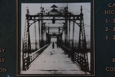
Camelback type
High Truss Bridge
1- 228’ Swing Span
2- 200’ Fixed Spans
1- 265’ Approach
Built by
Milwaukee
Bridge Works
Cost: $55,000 (1885)
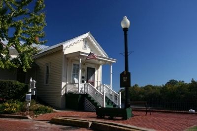
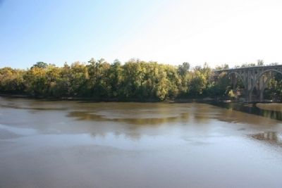
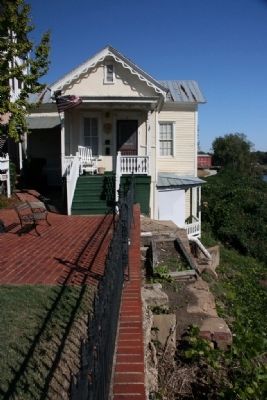
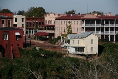
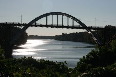
The corner stone of the 1st bridge across the Alabama River in Dallas County was laid in Nov. 1884 and the bridge opened in 1885. There were three spans, the north span would turn to allow river traffic to pass. When open the steamers had only a 100 foot clearance between the piers. The turning operation required a bridge tender to manually turn the capstan to open the span. He lived at the existing house, with his family, and was on duty 24 hours a day. Tolls were collected until 1900 when the County purchased the bridge for $65,000 and made it free to cross. On May 25, 1940 the modern Edmund Pettus Bridge opened and the old bridge was removed. Only the curved landing, the cornerstone and the house survive today.
The Selma-Dallas County Historic Preservation Society has preserved this site.
Erected by Selma-Dallas County Historic Preservation Society.
Topics. This historical marker is listed in this topic list: Bridges & Viaducts. A significant historical month for this entry is May 1830.
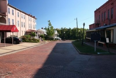
Location. 32° 24.384′ N, 87° 1.073′ W. Marker is in Selma, Alabama, in Dallas County. Marker is on Washington Street south of Water Avenue when traveling south. Marker is located at the end of Washington Street at the Alabama River. Touch for map. Marker is in this post office area: Selma AL 36703, United States of America. Touch for directions.
Other nearby markers. At least 8 other markers are within walking distance of this marker. Water Avenue (within shouting distance of this marker); This Tablet Commemorates the Visit of Lafayette (within shouting distance of this marker); St. James Hotel (within shouting distance of this marker); Edmund Pettus Bridge (about 400 feet away, measured in a direct line); The Sleeping Prophet (about 700 feet away); Sgt Robert Weakley Patton (about 700 feet away); Ecor Bienville (about 700 feet away); Lieutenant John Tillman Melvin (approx. 0.2 miles away). Touch for a list and map of all markers in Selma.
Credits. This page was last revised on June 16, 2016. It was originally submitted on November 7, 2010, by Timothy Carr of Birmingham, Alabama. This page has been viewed 1,462 times since then and 115 times this year. Photos: 1. submitted on November 7, 2010, by Timothy Carr of Birmingham, Alabama. 2, 3, 4, 5, 6, 7, 8. submitted on November 8, 2010, by Timothy Carr of Birmingham, Alabama. • Syd Whittle was the editor who published this page.
