Murfreesboro in Rutherford County, Tennessee — The American South (East South Central)
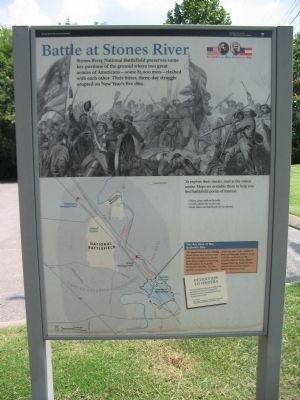
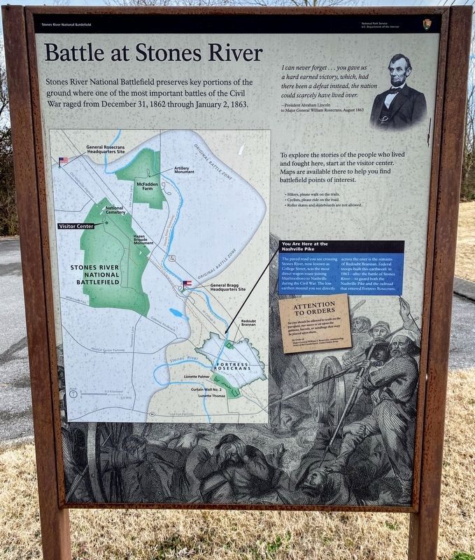
Battle at Stones River
December 31, 1862 - January 2, 1863
To explore their stories, start at the visitor center. Maps are available there to help you find battlefield points of interest.
You are here at the Nashville Pike
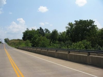
The paved road you see crossing Stones River, now known as the Old Nashville Highway, was the most direct wagon route joining Murfreesboro to Nashville during the Civil War. The low earthen mound you see directly across the river is the remains of Redoubt Brannan. Federal troops built this earthwork in 1863 - after the battle of Stones River - to guard both the Nashville Pike and the railroad that entered Fortress Rosecrans here.
Attention to Orders
No one should be allowed to walk on the parapets, nor move or sit upon the gabions, barrels, or sandbags that may be placed upon them.
by Order of
Major General William S. Rosecrans, commanding Army of the Cumberland, United States Army.
Erected by Stones River National Battlefield - National Park Service - U.S. Department of the Interior.
Topics. This historical marker is listed in this topic list: War, US Civil . A significant historical year for this entry is 1862.
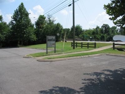
Location. 35° 51.659′ N, 86° 24.656′ W. Marker is in Murfreesboro, Tennessee, in Rutherford County. Marker is on West College Street, on the right when traveling north. Located at the Redoubt Brannan trailhead for the Stones River Greenway trail. Touch for map. Marker is in this post office area: Murfreesboro TN 37129, United States of America. Touch for directions.
Other nearby markers. At least 8 other markers are within walking distance of this marker. Bum Proof Stockade (approx. 0.2 miles away); Waging War by Rail (approx. 0.2 miles away); They Passed This Way (approx. 0.2 miles away); Redoubt Brannan (approx. 0.2 miles away); a different marker also named Battle at Stones River (approx. 0.2 miles away); Army of the Cumberland (approx. 0.4 miles away); A Vast Depot (approx. half a mile away); Lunette Palmer (approx. 0.6 miles away). Touch for a list and map of all markers in Murfreesboro.
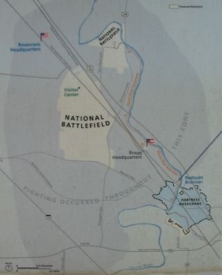
More about this marker. The basic marker seen here is used for orientation at the battlefield. It is repeated at several locations, with different text in the map call out.
Also see . . . Stones River National Battlefield. National Park Service site. (Submitted on November 8, 2010, by Craig Swain of Leesburg, Virginia.)
Credits. This page was last revised on March 15, 2021. It was originally submitted on November 8, 2010, by Craig Swain of Leesburg, Virginia. This page has been viewed 865 times since then and 50 times this year. Photos: 1. submitted on November 8, 2010, by Craig Swain of Leesburg, Virginia. 2. submitted on March 13, 2021, by Shane Oliver of Richmond, Virginia. 3, 4, 5. submitted on November 8, 2010, by Craig Swain of Leesburg, Virginia.
