Murfreesboro in Rutherford County, Tennessee — The American South (East South Central)
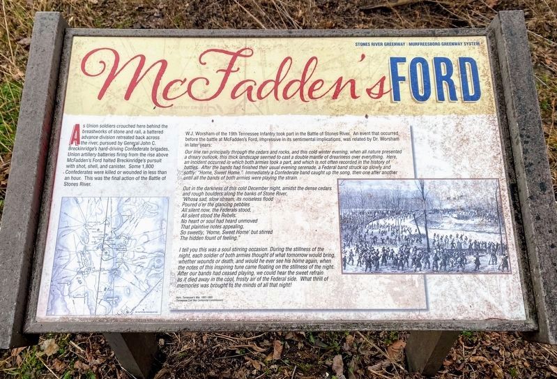
McFadden's Ford
Photographed by Shane Oliver, January 30, 2021
1. McFadden's Ford Marker
Text is the exact same, although formatting has changed slightly.
W.J. Worsham of the 19th Tennessee Infantry took part in the Battle of Stones River. An event that occurred before the battle at McFadden's Ford, impressive in its sentimental implications was related by Dr. Worsham in later years.
Our line ran principally through the cedars and rocks, and this cold winter evening when all nature presented a dreary outlook, this thick landscape seemed to cast a double mantle of dreariness over everything. Here, an incident occurred in which both armies took part, and which is not often recorded in the history of battles. After the bands had finished their usual evening serenade, a Federal band struck up slowly and softly "Home, Sweet Home." Immediately a Confederate band caught up the song, then one after another until all the bands of both armies were playing the strain.
Out in the darkness of this cold December night, amidst the dense cedars and rough boulders along the banks of Stone River,
Poured o'er the glancing pebbles
All silent now, the Federals stood,
All silent stood the Rebels.
No heart or soul had heard unmoved
That plaintive note's appealing,
So sweetly, 'Home, Sweet Home' but stirred
The hidden fount of feeling."
I tell you this was a soul stirring occasion. During the stillness of the night, each soldier of both armies thought of what tomorrow would bring, whether wounds or death, and would he ever see his home again, when the notes of this inspiring tune came floating on the stillness of the night. After our bands had ceased playing, we could hear the sweet refrain as it died away in the cool, frosty air of the Federal side. What a thrill of memories was brought to the minds of all that night!
Horn,
this page online
(Tennessee Civil War Centennial Commission)
Erected by Stones River Greenway - Murfreesboro Greenway System.
Topics. This historical marker is listed in this topic list: War, US Civil.
Location. 35° 53.299′ N, 86° 25.427′ W. Marker is in Murfreesboro, Tennessee, in Rutherford County. It is on North Thompson Lane (State Highway 268), on the right when traveling south. Located along the Stones River Greenway trail, adjacent to the McFadden Ford unit of Stones River National Battlefield. Touch for map. Marker is in this post office area: Murfreesboro TN 37129, United States of America. Touch for directions.

Regionally, this marker is in Middle Tennessee and in Greater Nashville. It is also in the American South and specifically in the Upper South. Globally, it is in North America, the Western Hemisphere, the Western World, and the Anglosphere. Historically, it finds itself in what was once the territory of the Mississippian Culture, one of the Confederate States of America, and the Antebellum South.
Other nearby markers. At least 8 other markers
Photographed by Shane Oliver, January 30, 2021
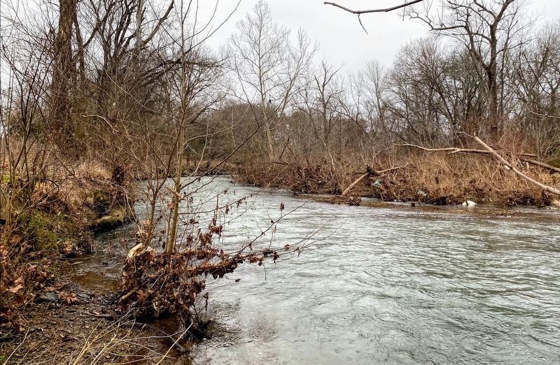
2. McFadden's Ford on the Stones River
Other markers no longer nearby. McFadden Farm (was within shouting distance of this marker but has been confirmed missing); Breckinridge's Attack (was about 600 feet away but has been permanently removed); Artillery Saves the Day (was about 700 feet away but has been reported to have been replaced with another marker now near it).
Photographed by Craig Swain, August 28, 2010
3. McFadden's Ford Marker
Photographed by Craig Swain, August 28, 2010
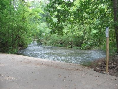
4. Canoe Ramp at McFadden Ford
Trees and brush on several islands in the river block the full view of the other side. While shallow enough for soldiers to wade, the river was deep enough to slow progress at the time of the battle.
Photographed by Craig Swain, August 28, 2010
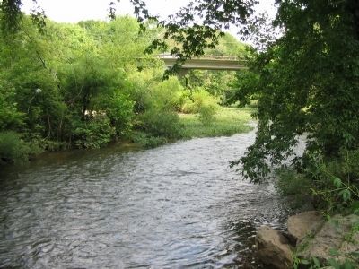
5. McFadden's Ford
Another view of the ford area. The bridge over the river here is Thompson Lane.
Photographed by Craig Swain, August 28, 2010
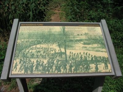
6. McFadden's Ford Marker
This is the original marker at this location.
Credits. This page was last revised on June 18, 2024. It was originally submitted on November 8, 2010, by Craig Swain of Leesburg, Virginia. This page has been viewed 2,538 times since then and 184 times this year. Photos: 1, 2. submitted on March 14, 2021, by Shane Oliver of Richmond, Virginia. 3, 4. submitted on November 8, 2010, by Craig Swain of Leesburg, Virginia. 5. submitted on November 9, 2010, by Craig Swain of Leesburg, Virginia. 6. submitted on November 8, 2010, by Craig Swain of Leesburg, Virginia.
