A Crucial Crossing, a Generalís Namesake, a Battlefield Icon
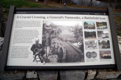
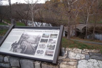
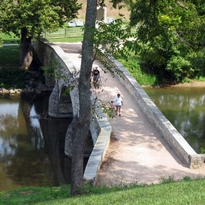
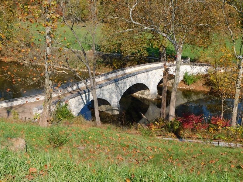
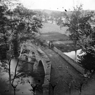
Known at the time of the battle as the Rohrbach or Lower Bridge, this picturesque crossing over Antietam Creek was built in 1836 to connect Sharpsburg with Rohrersville, the next town to the south. It was actively used for traffic until 1966 when a bypass enabled the bridge to be restored to its 1862 appearance.
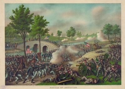
For more than three hours on September 17, 1862, Confederate Gen. Robert Toombs and fewer than 500 Georgia soldiers manned this imposing position against three Federal assaults made by Gen. Ambrose Burnsideís much larger Ninth Corps. Confederate General James Longstreet wrote of the action, “Gen. Toombs held the bridge and defended it most gallantly, driving back repeated attacks, and only yielded it after the force brought against him became overwhelming and threatened his flank and rear.”
About 1:00 p.m., with Union soldiers crossing downstream and another attack made on the bridge, Toombs and his men had to retreat. However, the strong delaying action provided much needed time to allow Gen. A.P. Hillís Confederate soldiers, marching from Harpers Ferry, to arrive on the field.
(captions)
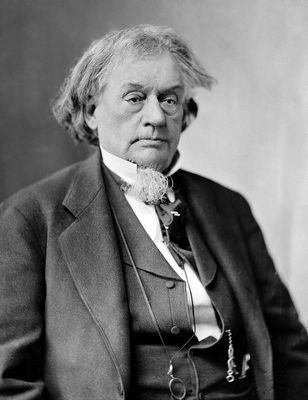
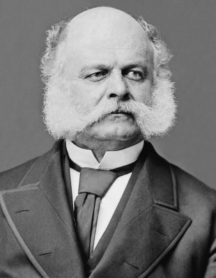
Gen. Ambrose Burnside and a historic image of the bridge that, since the battle, bears his name.
Kurz & Allison lithograph from 1888.
Postcard from the 1930s.
Cars
used the bridge and road for travel and parking in the 1940s and 1950s.
Family visit in the early 1960s.
Many floods, but the bridge survives.
A fifty cent piece created by the U.S. Mint to commemorate the 75th Anniversary of the battle.
Today the bridge has been restored and preserved for future generations.
Erected by Antietam National Battlefield.
Topics. This historical marker is listed in these topic lists: Bridges & Viaducts • War, US Civil. A significant historical date for this entry is September 17, 1862.
Location. 39° 26.995′ N, 77° 43.933′ W. Marker is in Sharpsburg, Maryland, in Washington County. Marker can be reached from Old Burnside Bridge Road, half a mile east of Rodman Avenue. This marker is located along a foot trail to Burnside Bridge at stop nine on the Antietam Battlefield Auto Tour. Touch for map. Marker is in this post office area: Sharpsburg MD 21782, United States of America. Touch for directions.
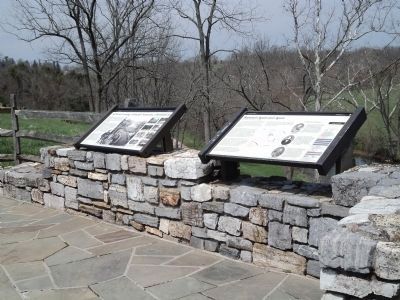
Other nearby markers. At least 8 other markers are within walking distance of this marker. "Point Blank Range" (here, next to this marker); Repulsed Again and Again (here, next to this marker); C.S.A. (within shouting distance of this marker); The Burnside Bridge (within shouting distance of this marker); Witness to History (about 300 feet away, measured in a direct line); William McKinley
Also see . . .
1. Antietam National Battlefield. National Park Service (Submitted on November 8, 2010.)
2. Robert Toombs. Robert Augustus Toombs (July 2, 1810 – December 15, 1885) was an American and Confederate political leader, Whig Party senator from Georgia, a founding father of the Confederacy, its first Secretary of State, and a Confederate general in the American Civil War of 1861-1865. (Submitted on October 2, 2015, by Brian Scott of Anderson, South Carolina.)
3. Ambrose Burnside. Ambrose Everett Burnside (May 23, 1824 – September 13, 1881) was an American soldier, railroad executive, inventor, industrialist, and politician from Rhode Island, serving as governor and a United States Senator. As a Union Army general in the American Civil War, he conducted successful campaigns in North Carolina and East Tennessee, as well as countering the raids of Confederate General John Hunt Morgan, but suffered disastrous defeats at the terrible Battle
Credits. This page was last revised on May 24, 2021. It was originally submitted on November 8, 2010, by Bernard Fisher of Richmond, Virginia. This page has been viewed 1,427 times since then and 24 times this year. Last updated on March 10, 2021, by Carl Gordon Moore Jr. of North East, Maryland. Photos: 1, 2. submitted on November 8, 2010, by Bernard Fisher of Richmond, Virginia. 3. submitted on April 15, 2011, by Bill Coughlin of Woodland Park, New Jersey. 4. submitted on November 8, 2010, by Bernard Fisher of Richmond, Virginia. 5. submitted on May 14, 2021, by Bradley Owen of Morgantown, West Virginia. 6, 7. submitted on November 8, 2010, by Bernard Fisher of Richmond, Virginia. 8, 9. submitted on October 2, 2015, by Brian Scott of Anderson, South Carolina.
